Skip to content
Facebook
Instagram
Delivery by Christmas: Unframed Orders, Monday 15 December for all states except TAS, NT & WA; Friday 12 December for TAS, NT & WA.Framed Orders, Wednesday 10 December for all states except TAS, NT & WA; Friday 5 December for TAS, NT & WA.
Search
World Maps
Australia Maps
ACT Maps
NSW Maps
NT Maps
QLD Maps
SA Maps
TAS Maps
VIC Maps
WA Maps
Gift Vouchers
Account
Search
Cart
Search By Street Name or Suburb e.g. 'Punt Road' or Toorak
World Maps
Australia Maps
ACT Maps
NSW Maps
NT Maps
QLD Maps
SA Maps
TAS Maps
VIC Maps
WA Maps
Gift Vouchers
🚚 Free Shipping
Australia-wide.
↩️ No Fuss
14-Days Free Returns.
Excellent ⭐⭐⭐⭐⭐
2,500 Happy Customers.
Free Shipping Australia-Wide — No-Fuss 14 Day Free Returns — Over 2,500 Happy Customers
Customers rate us 4.9/5 based on 18 reviews.
State Maps of New South Wales
Filter
44 products
Filters
Country
Australia
44
State
New South Wales
43
Queensland
2
Victoria
1
Town/City
Botany Bay
2
Broken Bay
2
Newcastle
1
Port Jackson
2
Sydney
1
Map Date
1770's
1
1780's
2
1790's
3
1800's
4
1810's
8
1820's
9
1830's
3
1840's
1
1850's
2
1860's
2
1870's
1
1880's
2
1890's
1
1930's
2
1940's
1
1950's
2
Apply
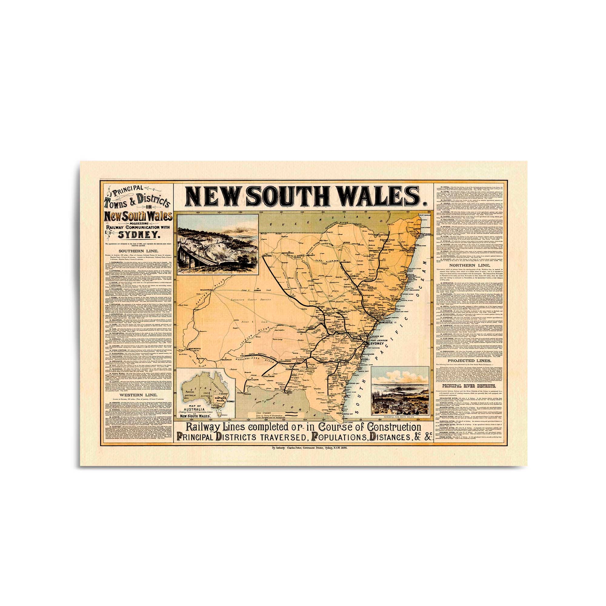
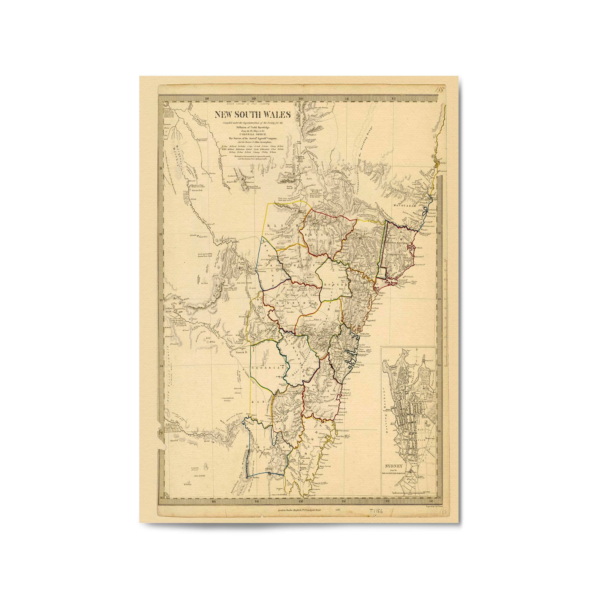
1886 Vintage Map of New South Wales
From
$45.00
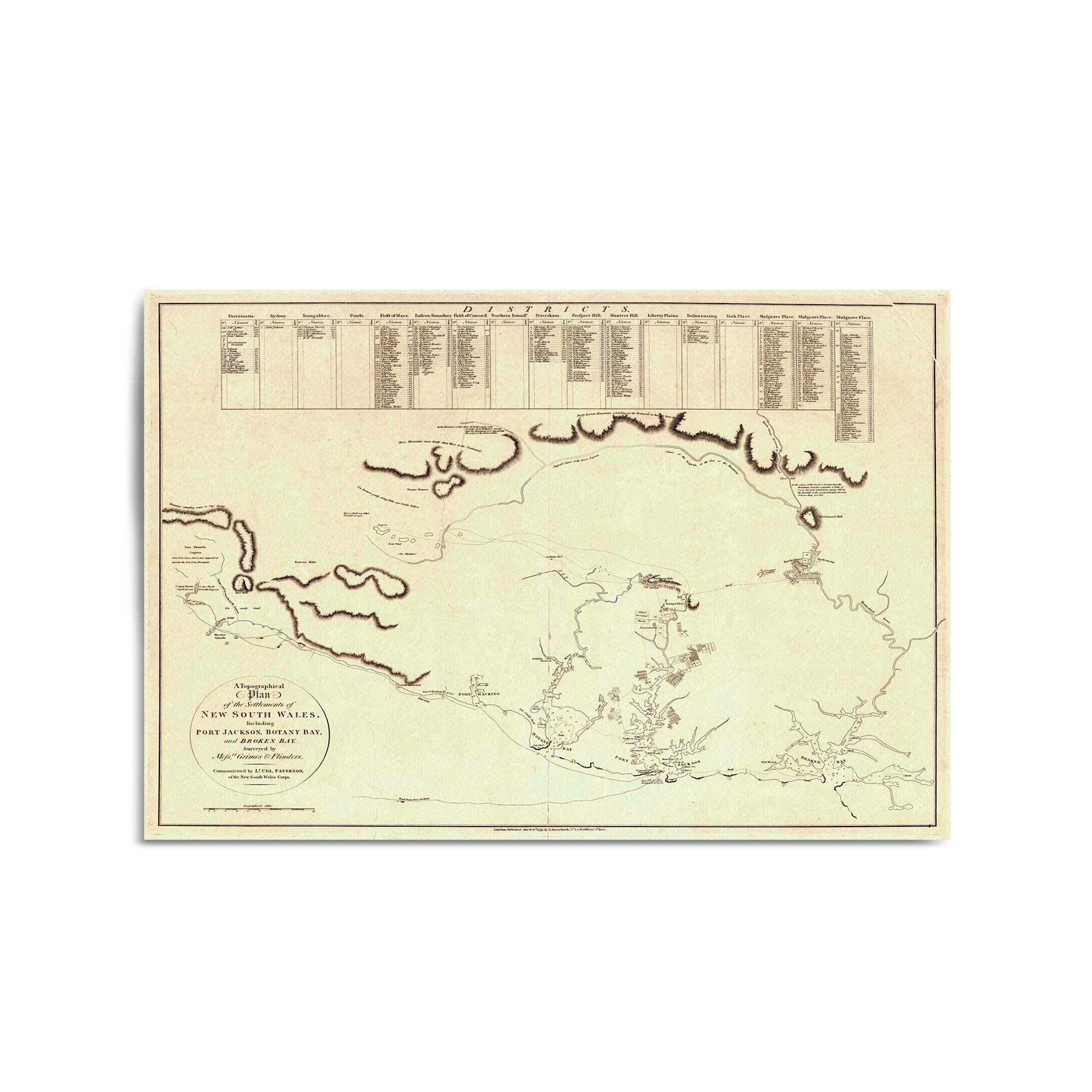
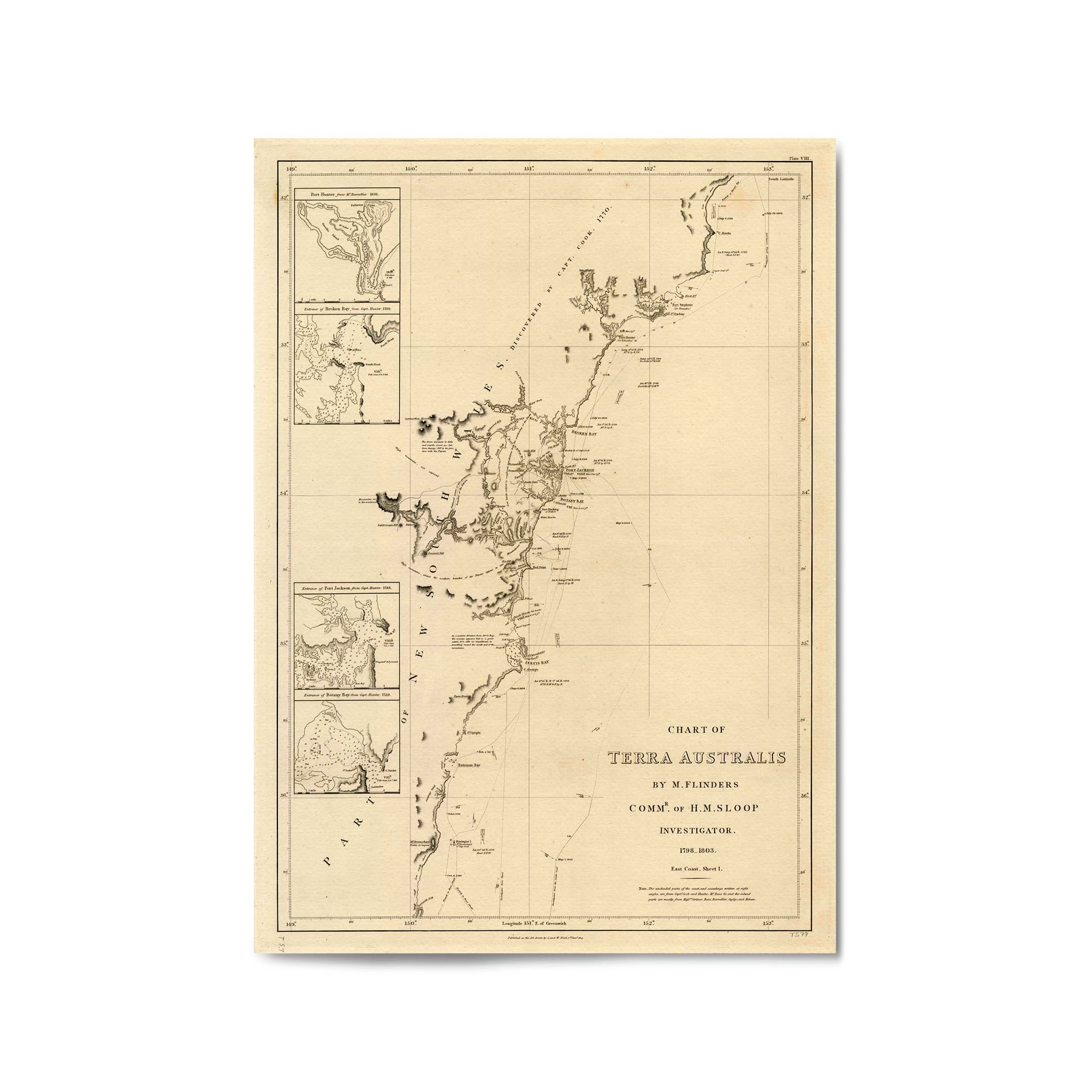
1802 Chart of the three harbours of Botany Bay, Port Jackson and Broken Bay
From
$45.00
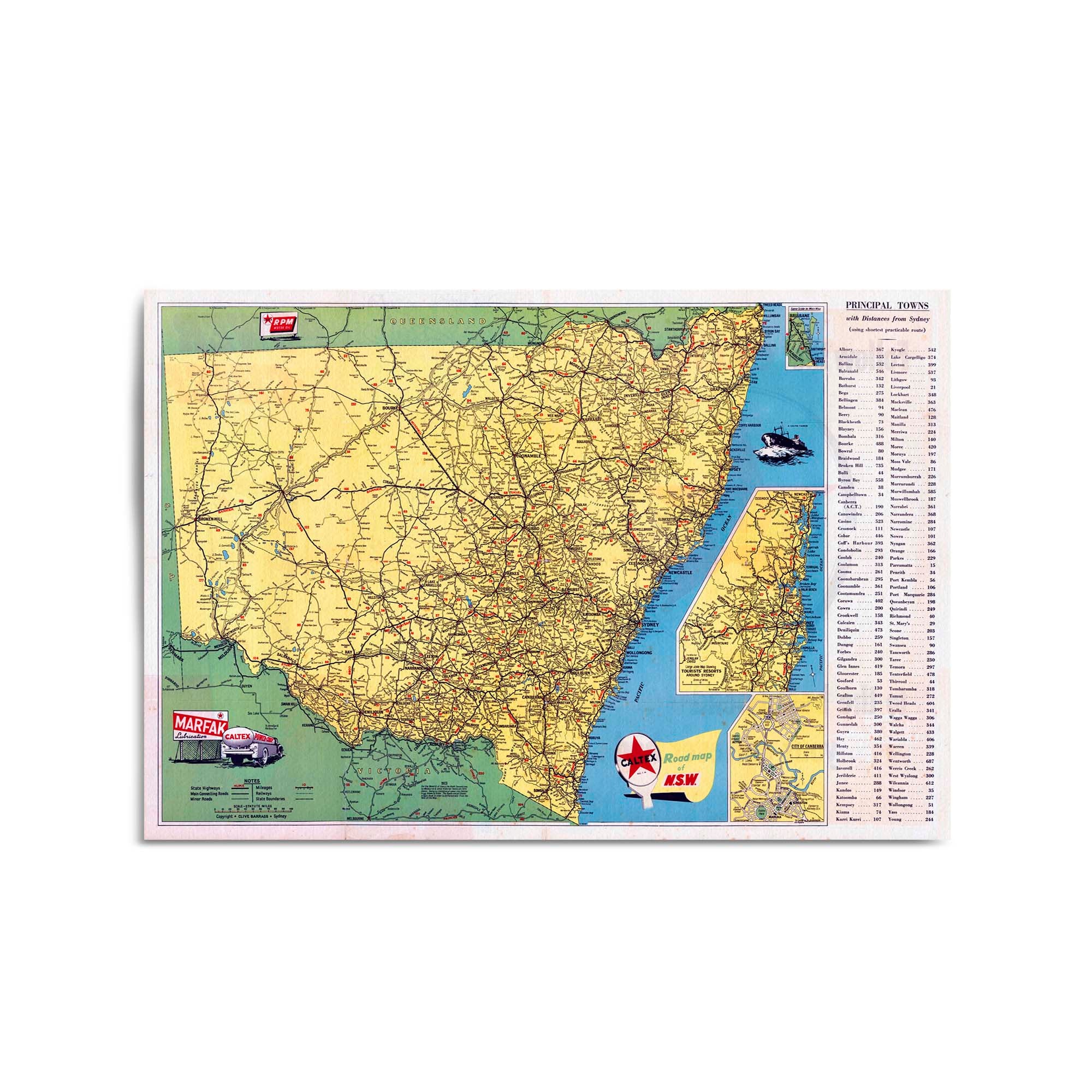
1952 Road Map of New South Wales
From
$45.00
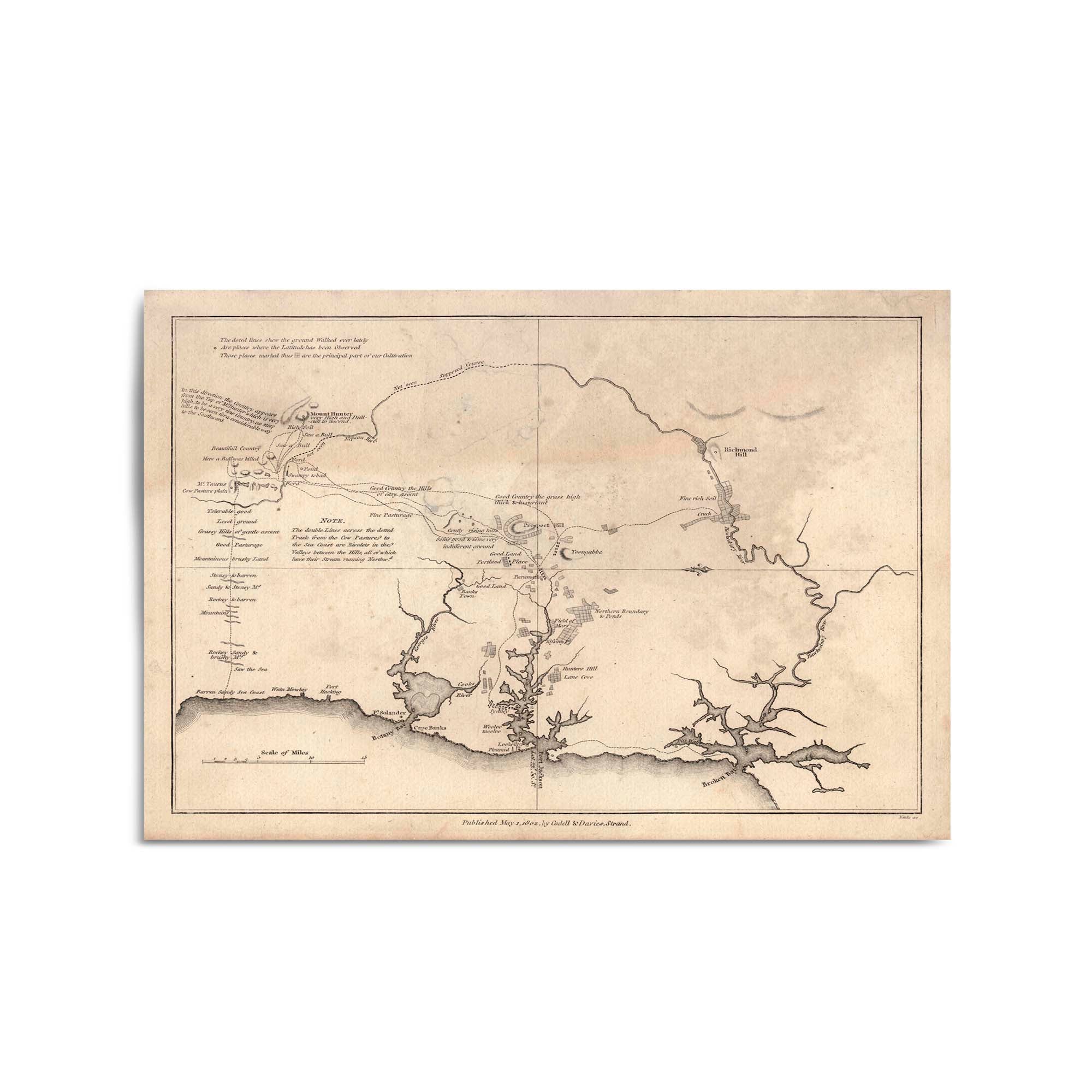
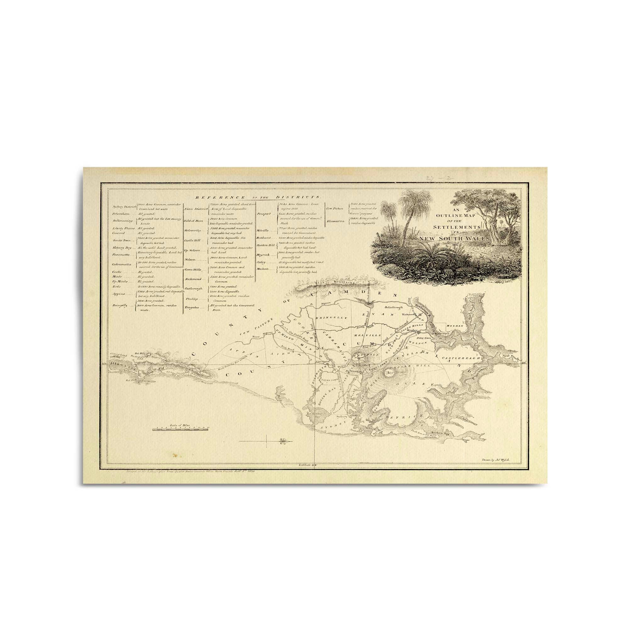
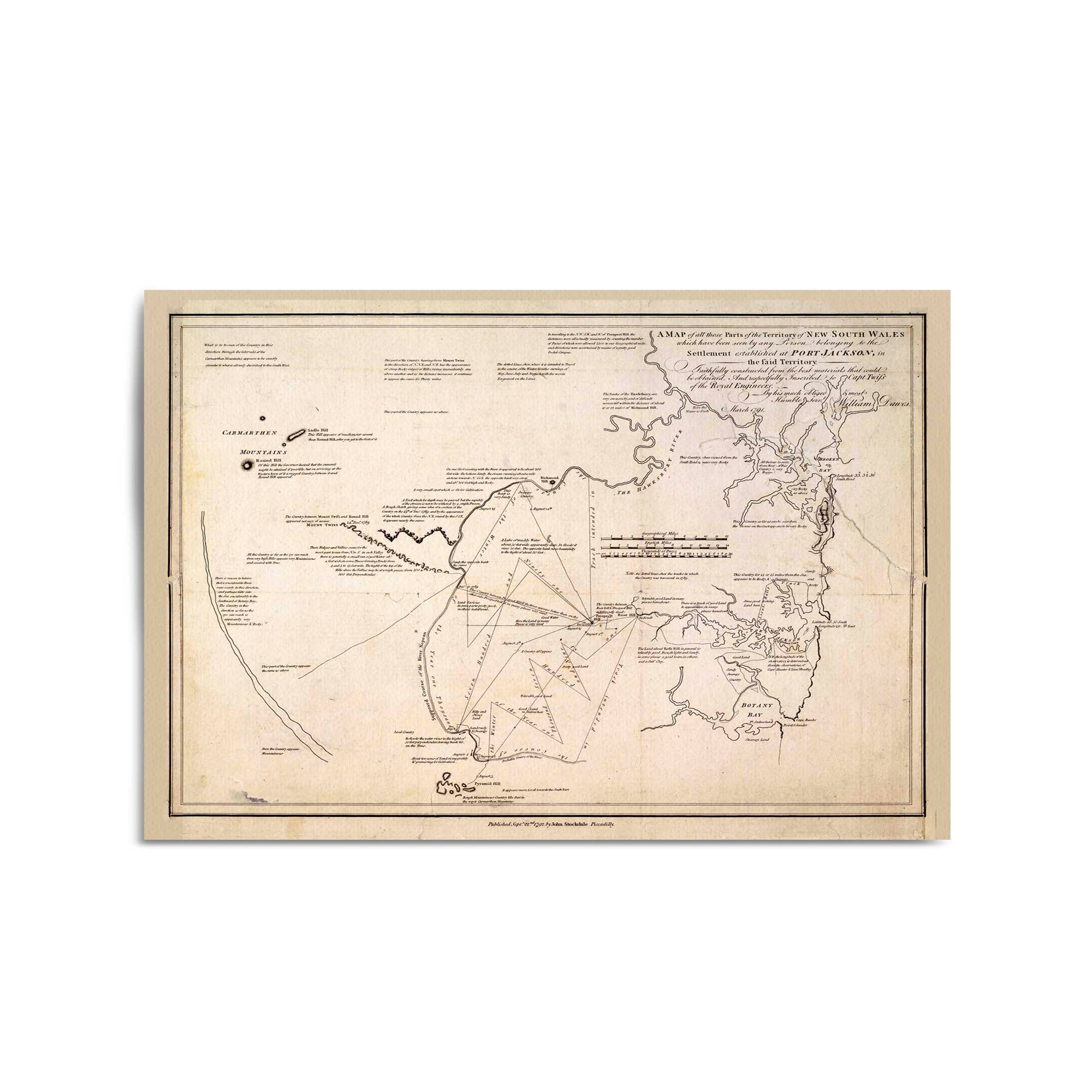
1799 Plan of the Settlements of New South Wales
From
$45.00
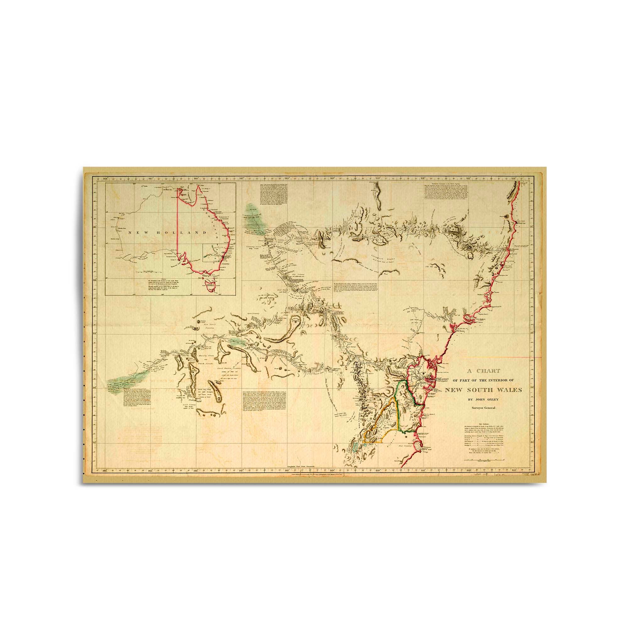
1814 Drawings of the East and North Coasts of Australia
From
$45.00
1814 Chart of New South Wales from Smoky Cape to Moreton Bay in Queensland
From
$45.00
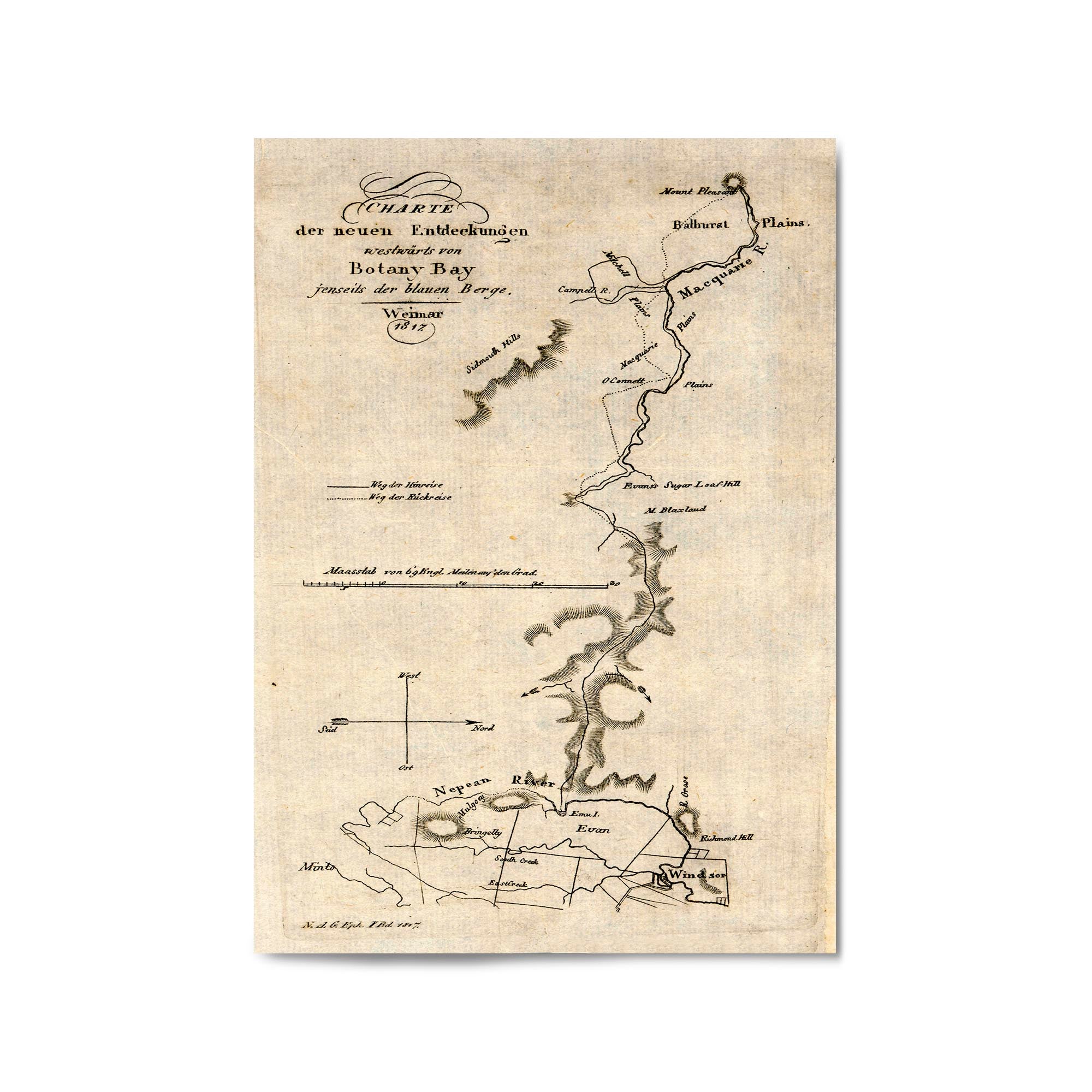
1817 Map of Area North and West of Sydney, New South Wales (German)
From
$45.00
1832 Chart of New South Wales
From
$45.00
1787 Map of Australia (New Holland) Eastern Coast - From South Cape to Cape York
From
$45.00
1850 Map of New South Wales and Victoria
From
$45.00
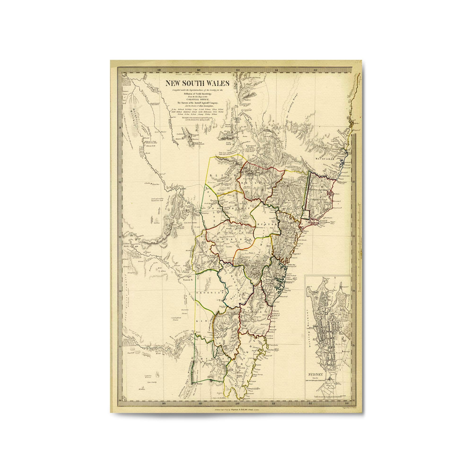
1833 Map of New South Wales
From
$45.00
1820 Map of New South Wales
From
$45.00
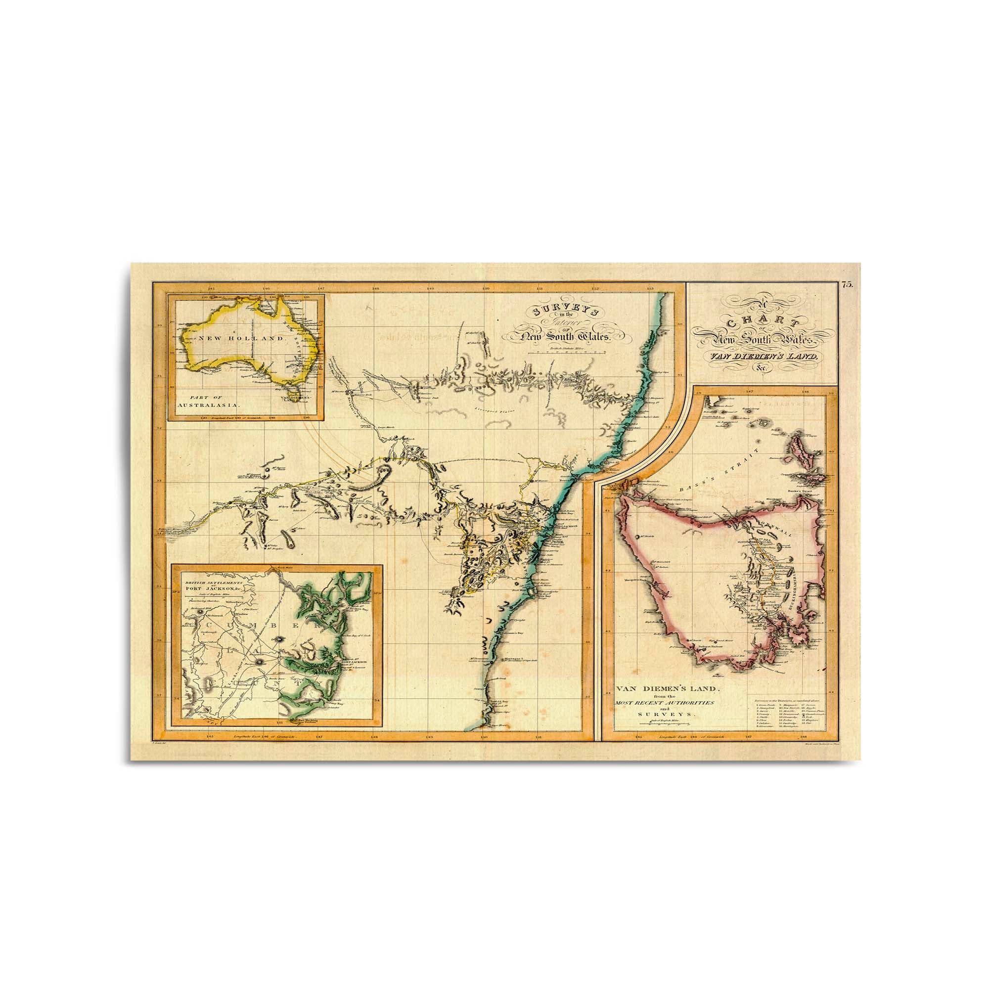
1821 Chart of New South Wales and Van Diemen's Land
From
$45.00
1844 Map of New South Wales
From
$45.00
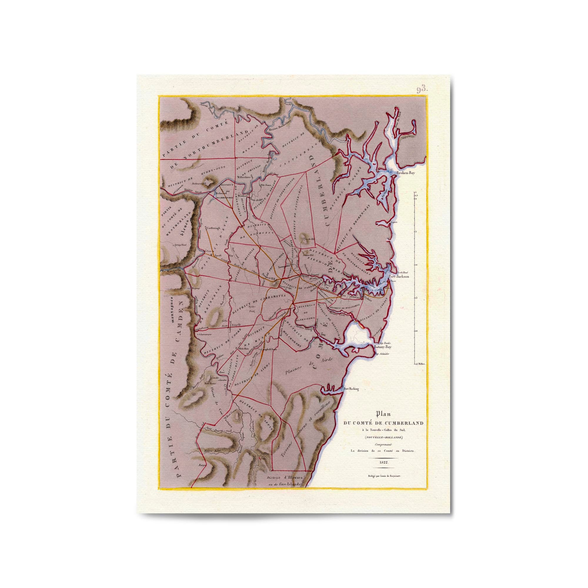
1822 Map of the County of Cumberland, New South Wales
From
$45.00
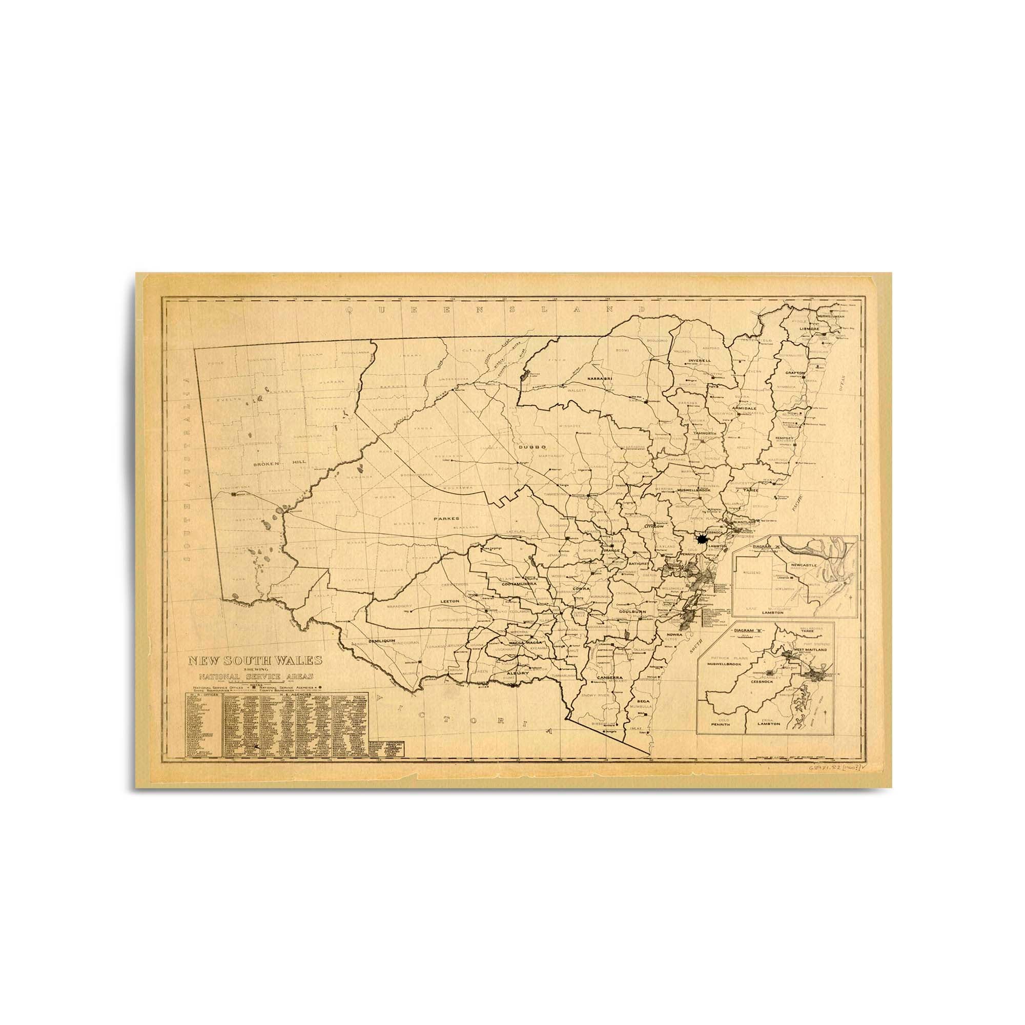
1940 Map of New South Wales
From
$45.00
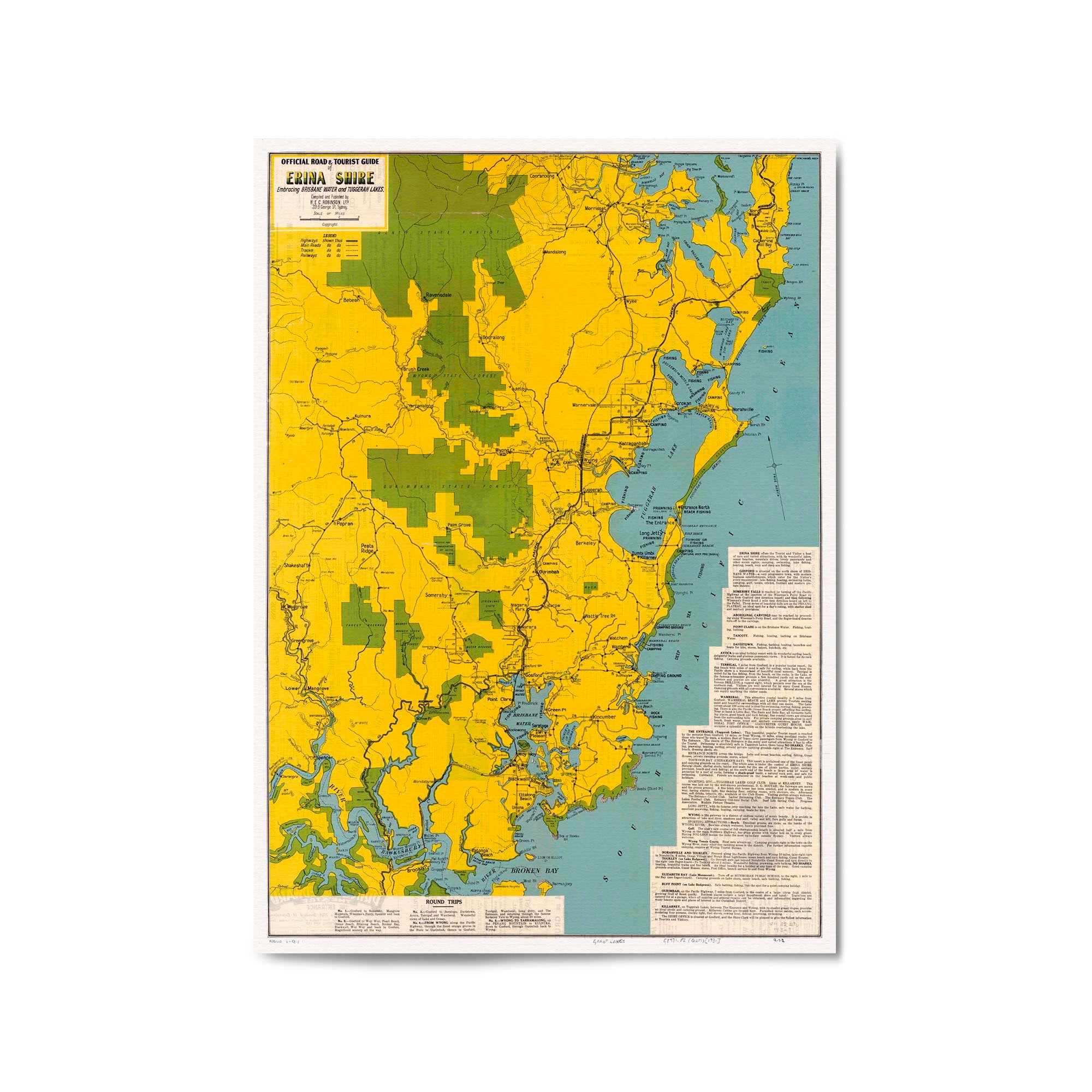
1936 Road Map of Central Coast, New South Wales
From
$45.00
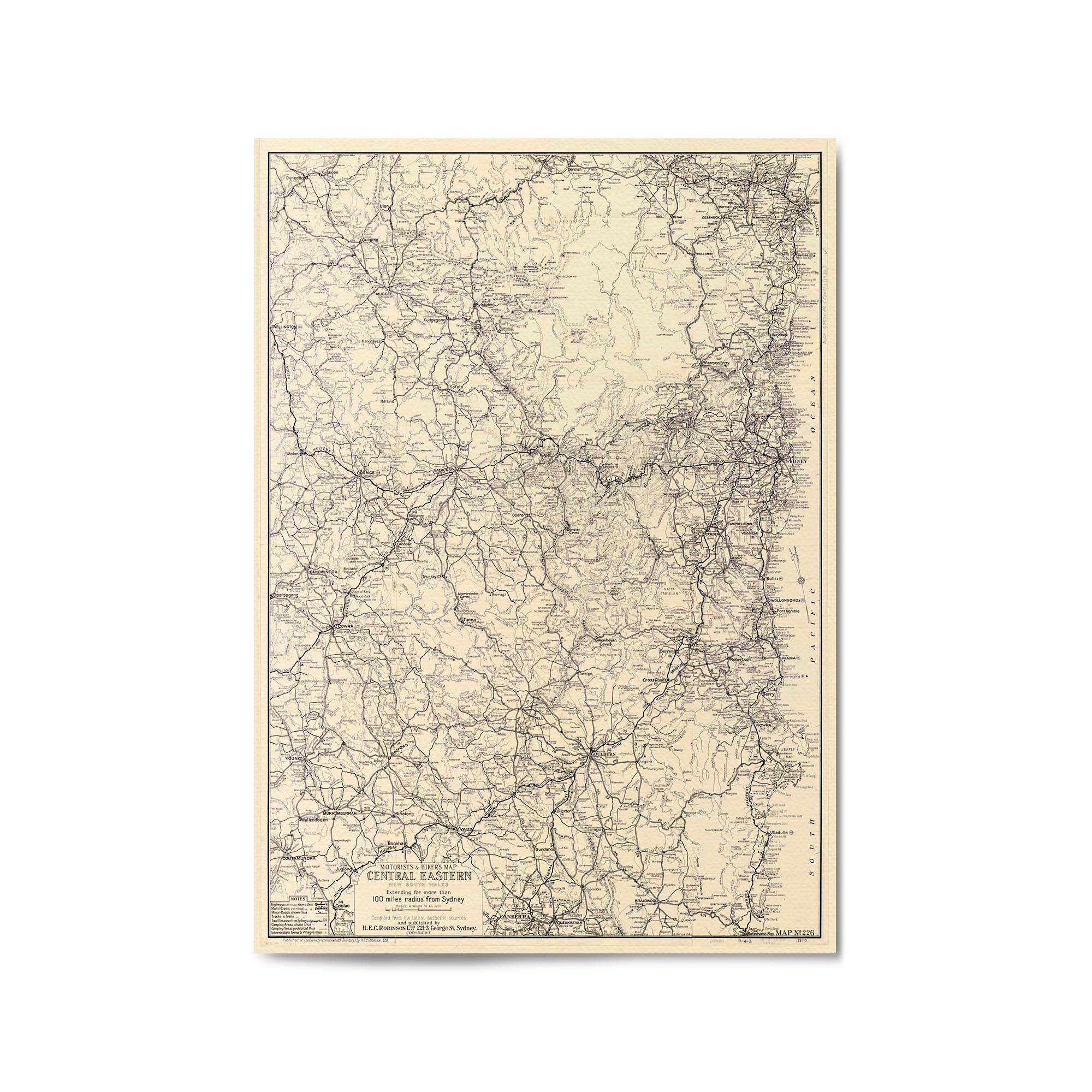
1932 Map of Central Eastern New South Wales
From
$45.00
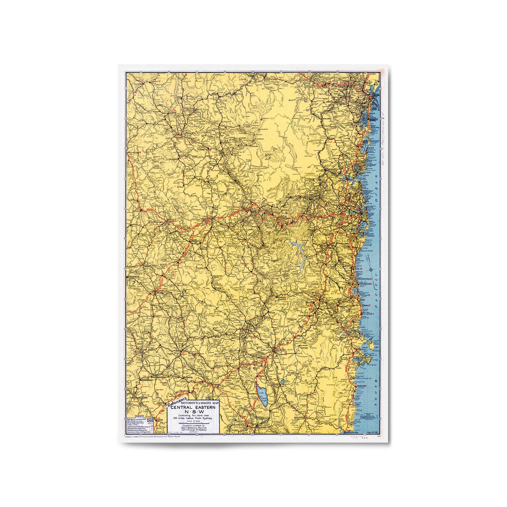
1953 Map of Central Eastern New South Wales
From
$45.00
1870s Map of New South Wales & Victoria
From
$45.00
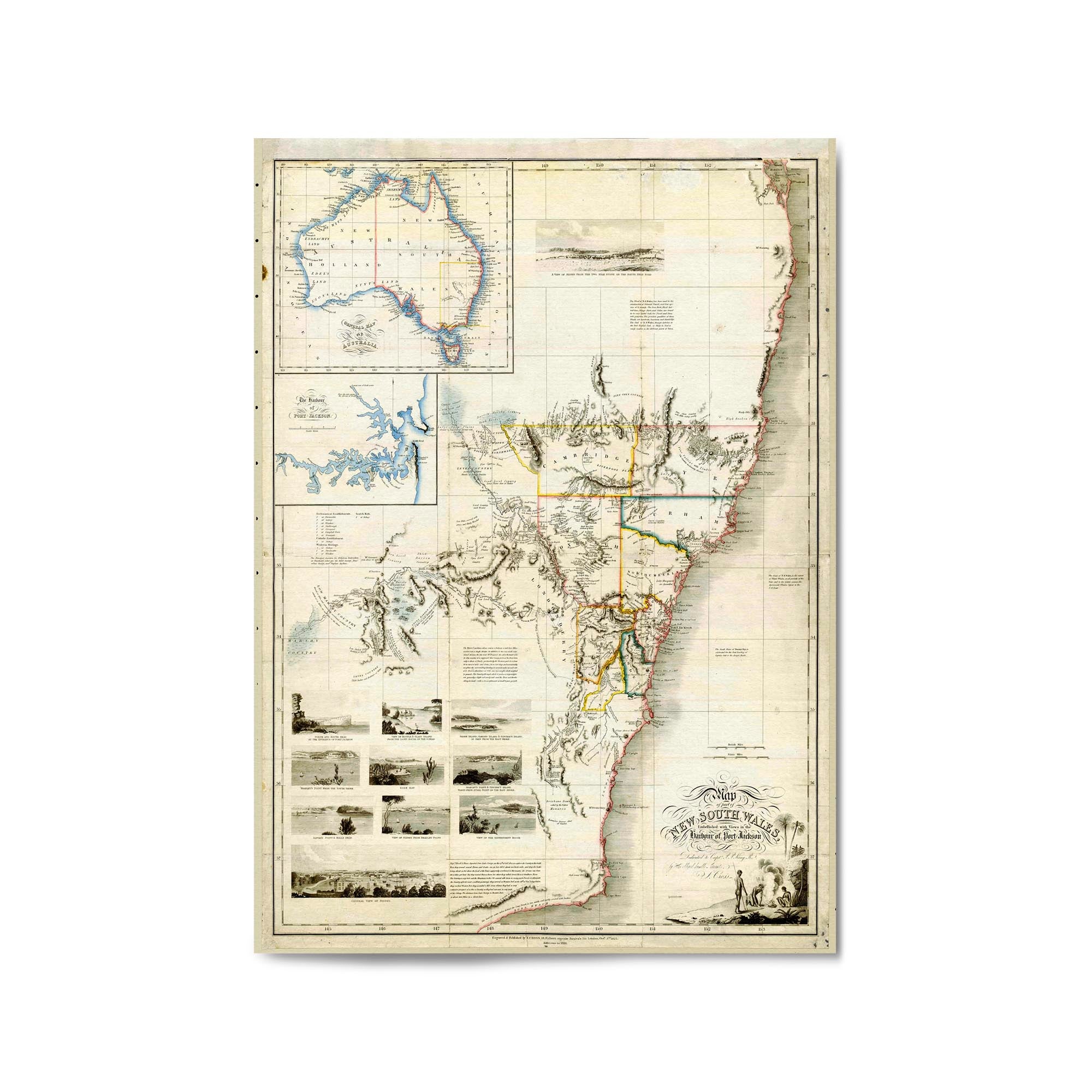
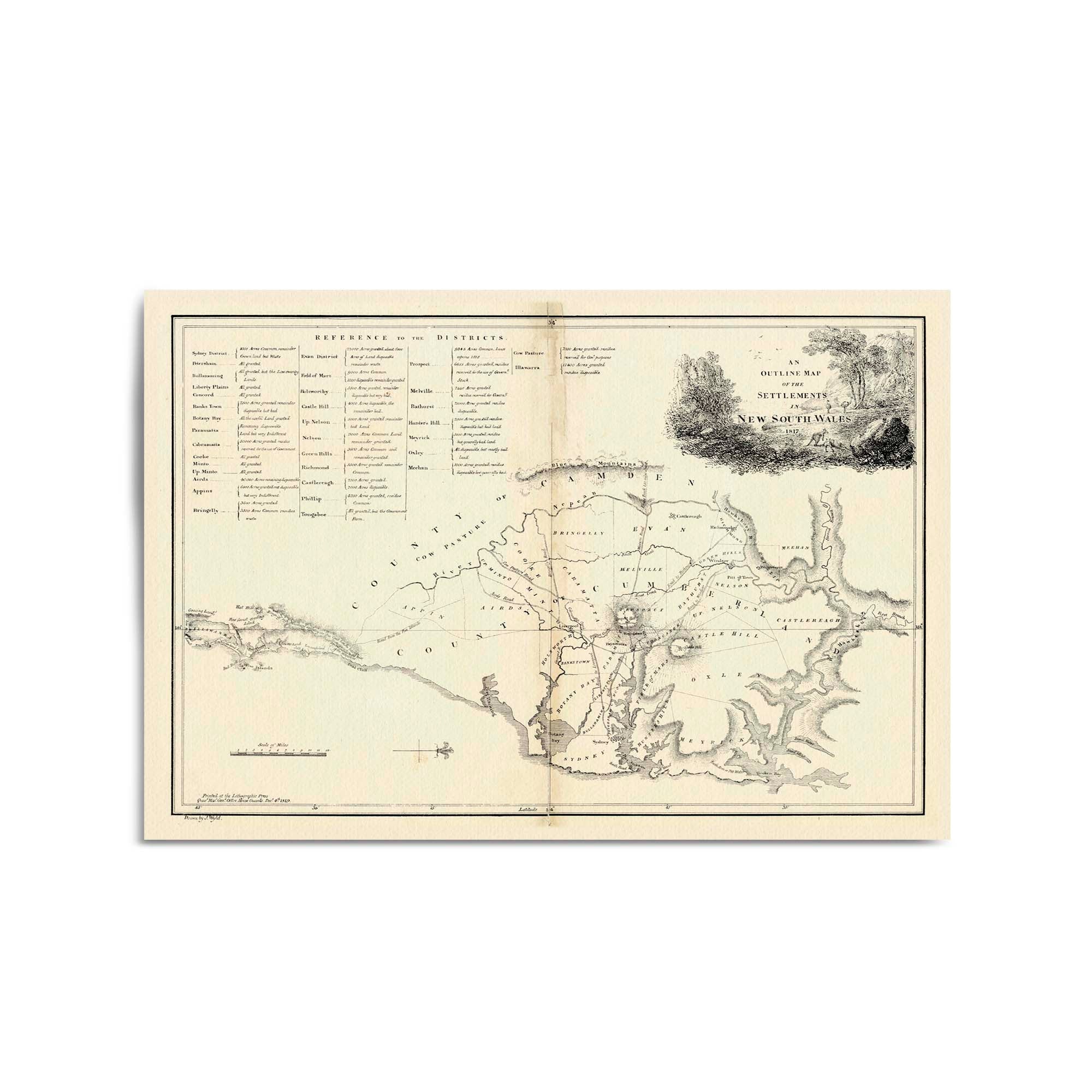
1817 Map of the Settlements in New South Wales
From
$45.00
1792 Map of the East Coast of Australia
From
$45.00
1833 Map of New South Wales
From
$45.00
1822 Chart of New South Wales
From
$45.00
1800 Chart of the Eastern Coast of Australia from South Cape to Cape York
From
$45.00
1814 Chart of New South Wales from Barmouth Creek to Cape Hawke
From
$45.00
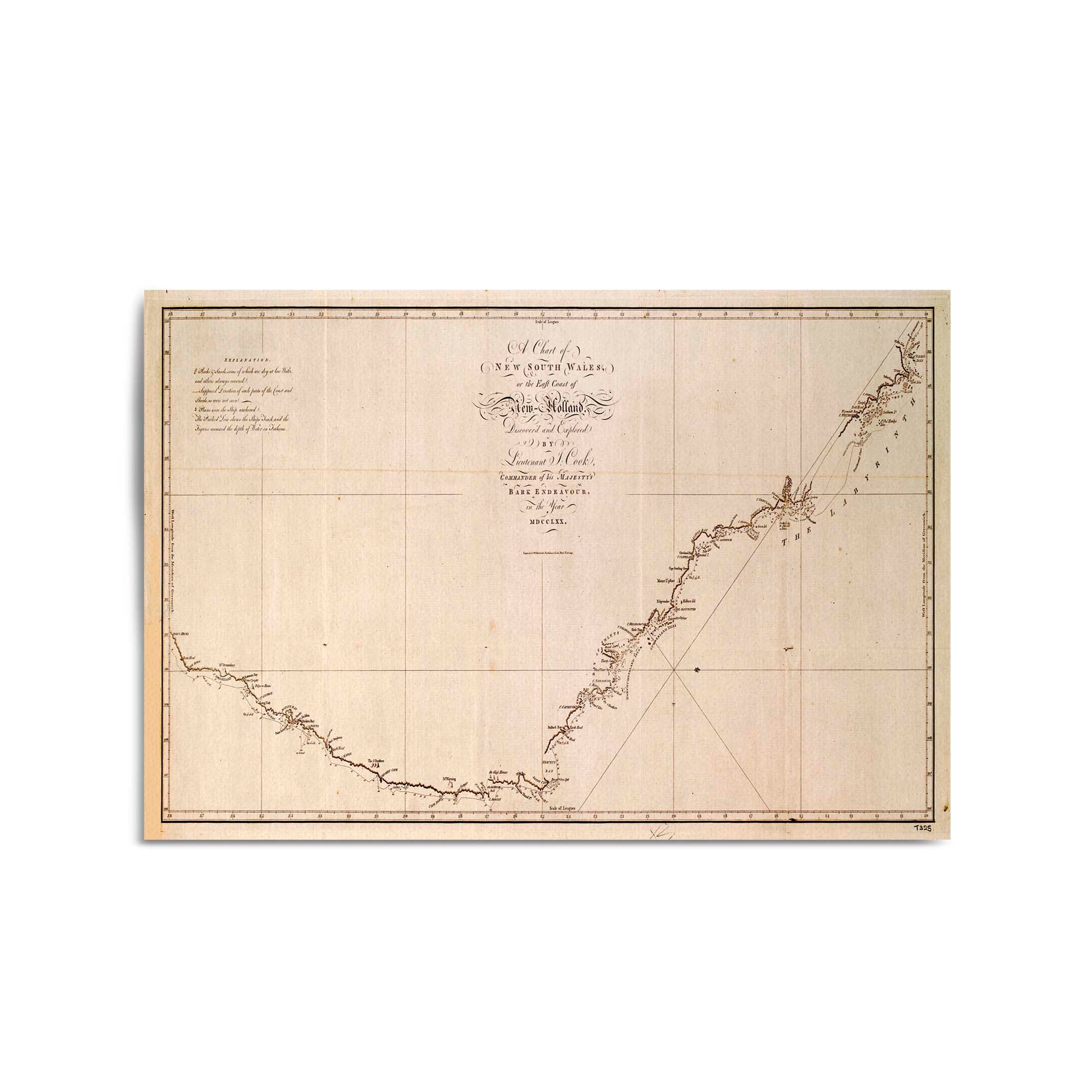
1773 Chart of New South Wales
From
$45.00
1866 Map of New South Wales
From
$45.00
1865 Map of New South Wales
From
$45.00
1826 Map of New South Wales
From
$45.00
1827 Chart of New South Wales
From
$45.00
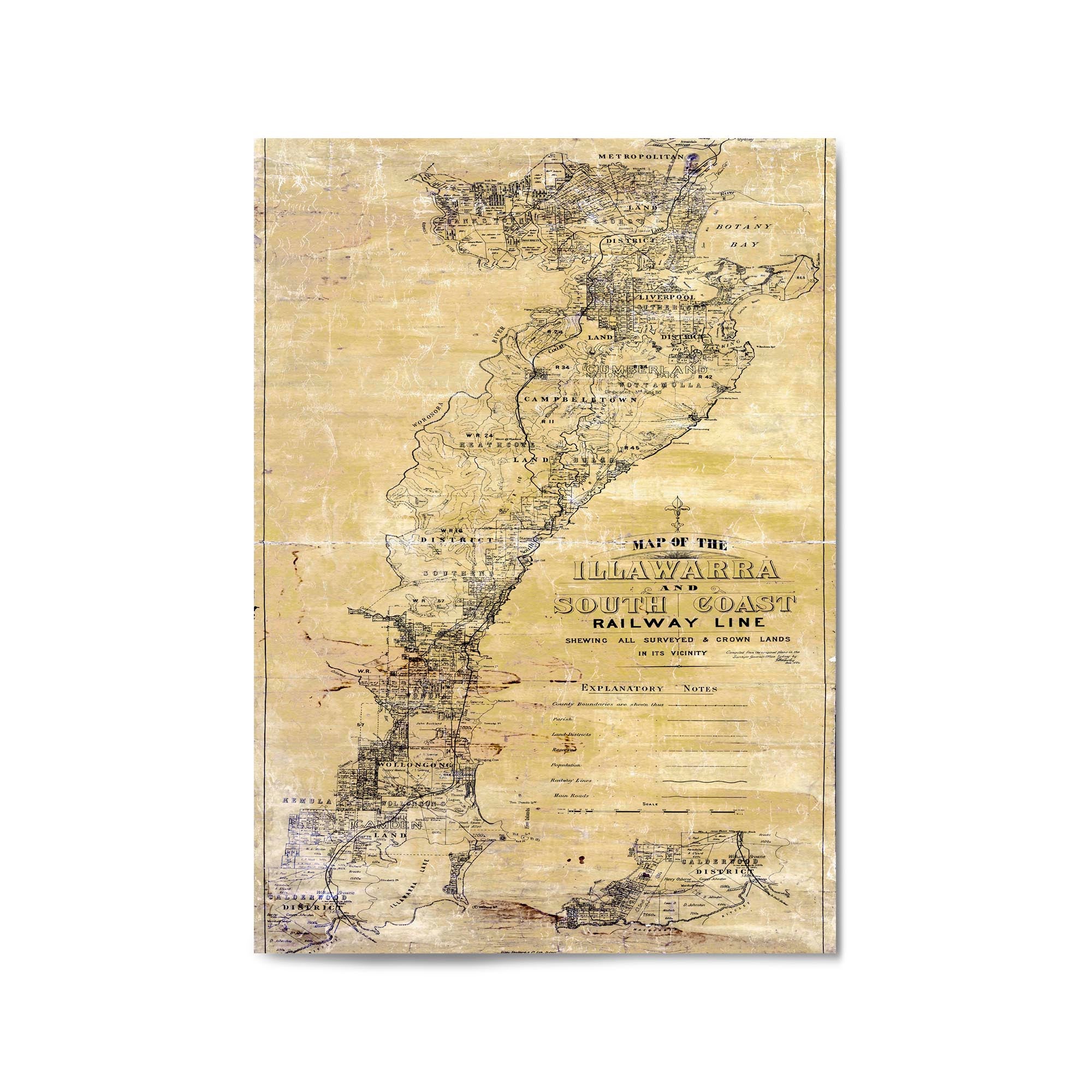
1884 Map of the South Coast Railway and Illawarra, New South Wales
From
$45.00
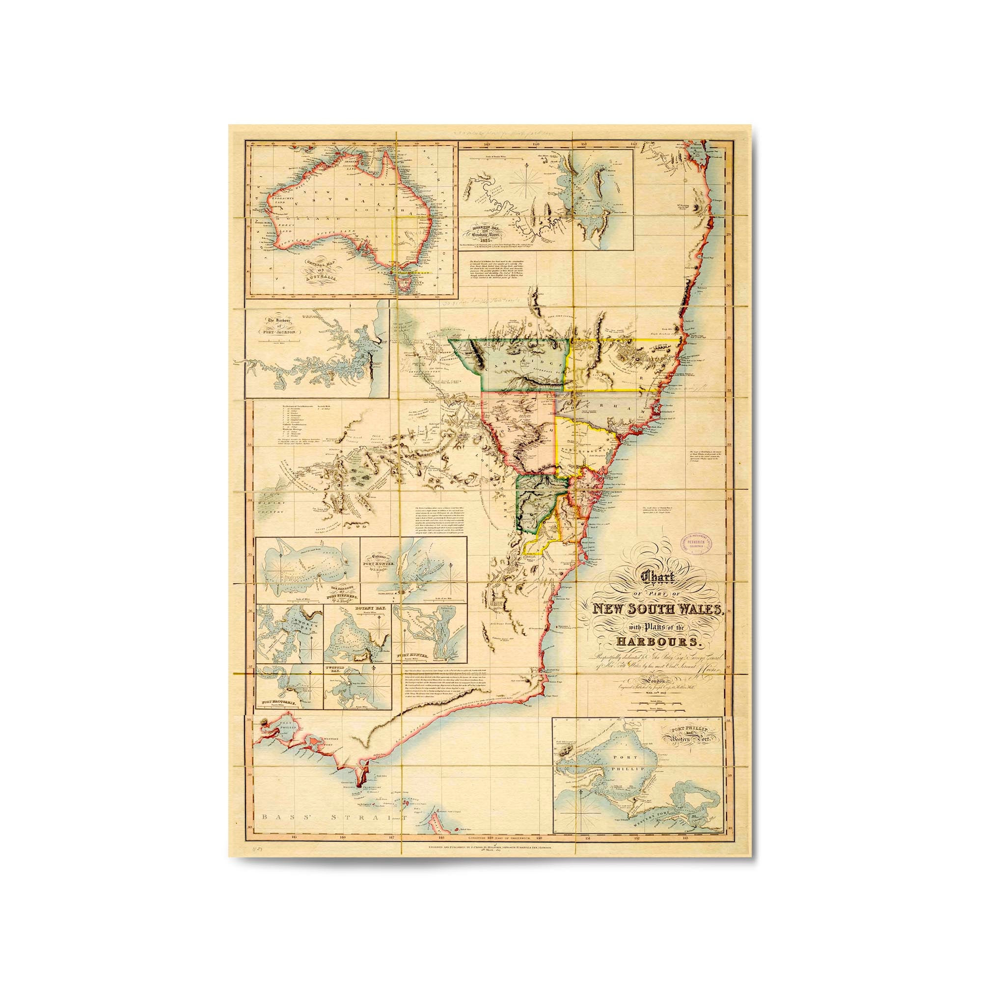
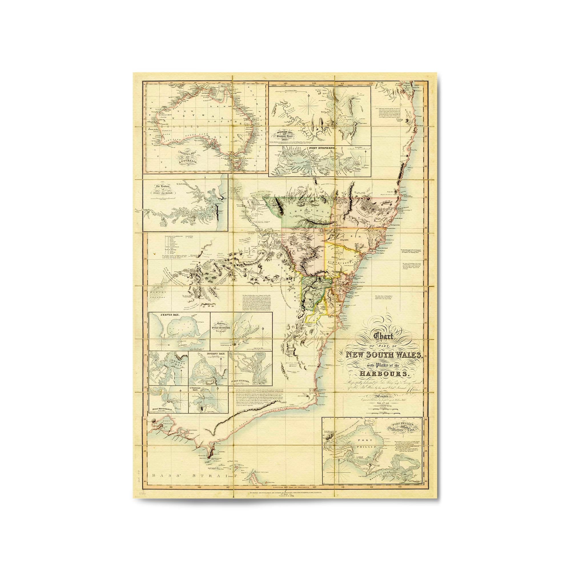
1827 Chart of New South Wales
From
$45.00
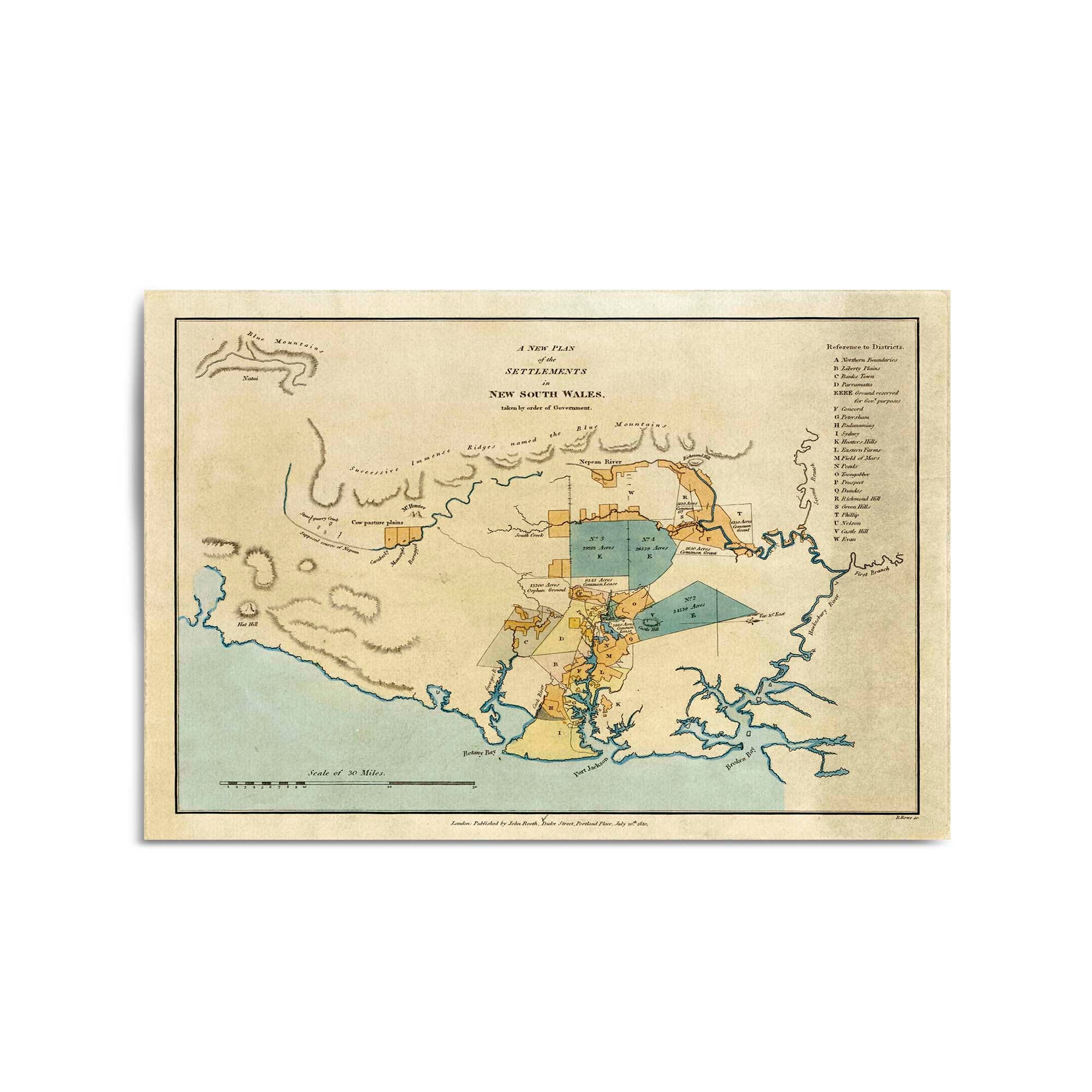
1810 Plan of the Settlements in New South Wales
From
$45.00
1819 Map of the Settlements in New South Wales
From
$45.00
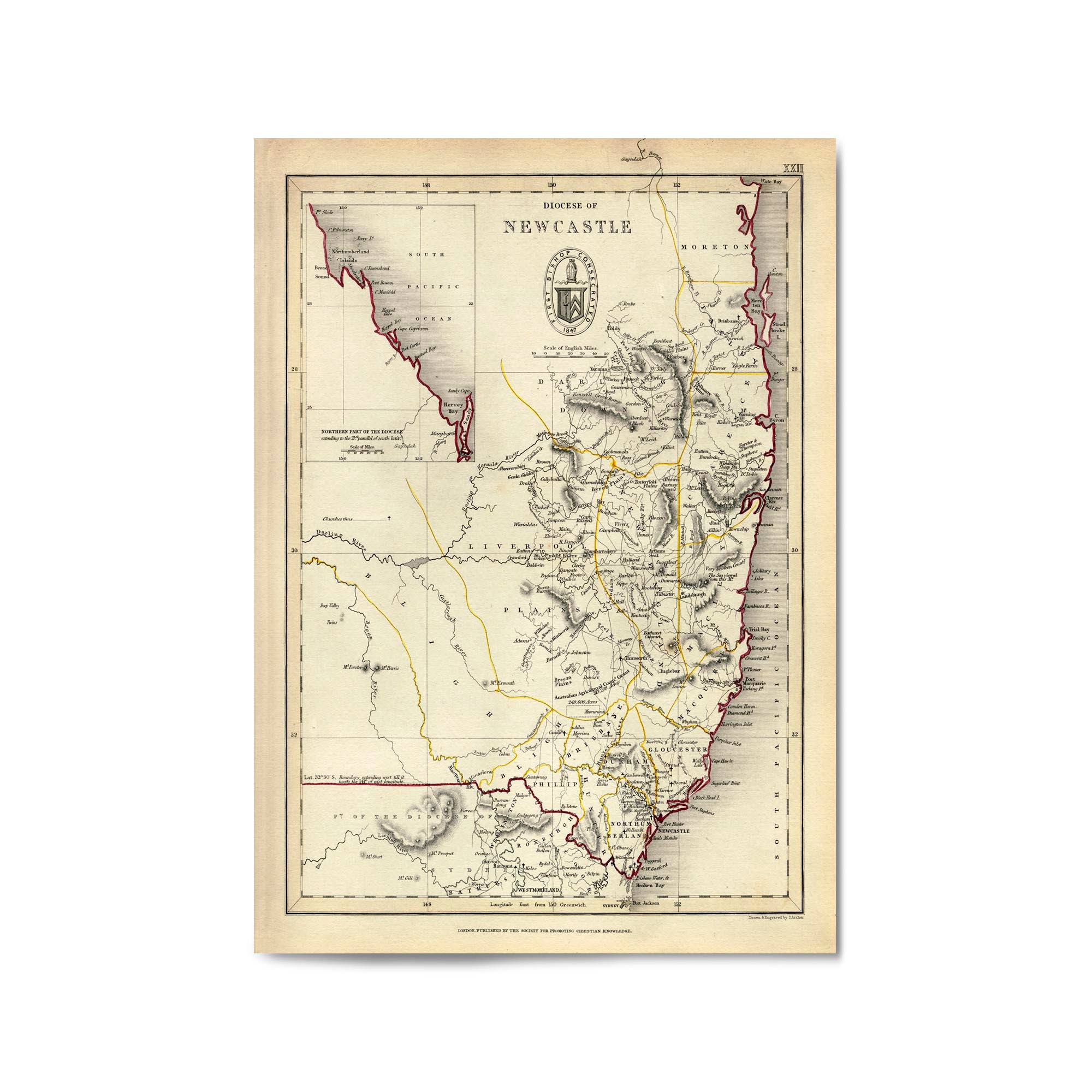
1850 Map of the Anglican Diocese of Newcastle
From
$45.00
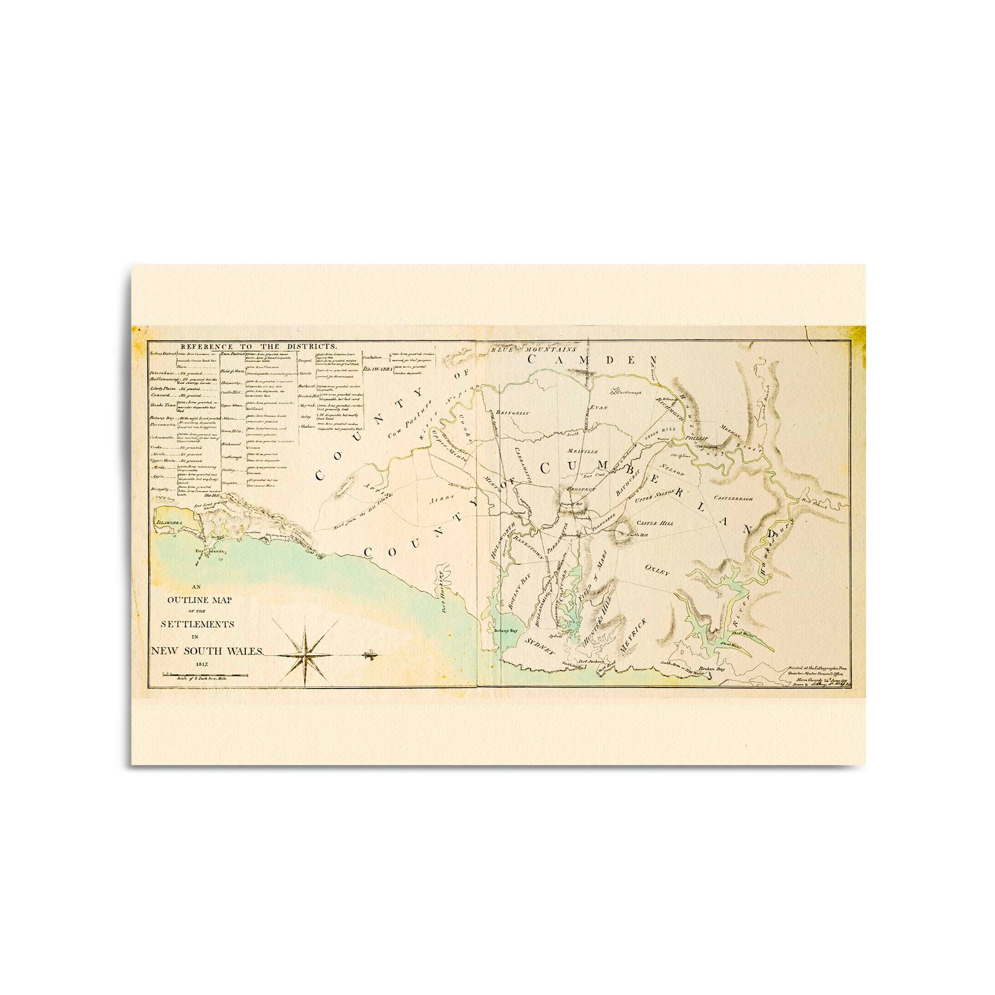
1817 Map of the Settlements in New South Wales
From
$45.00
1793 Map of the Territory of New South Wales
From
$45.00
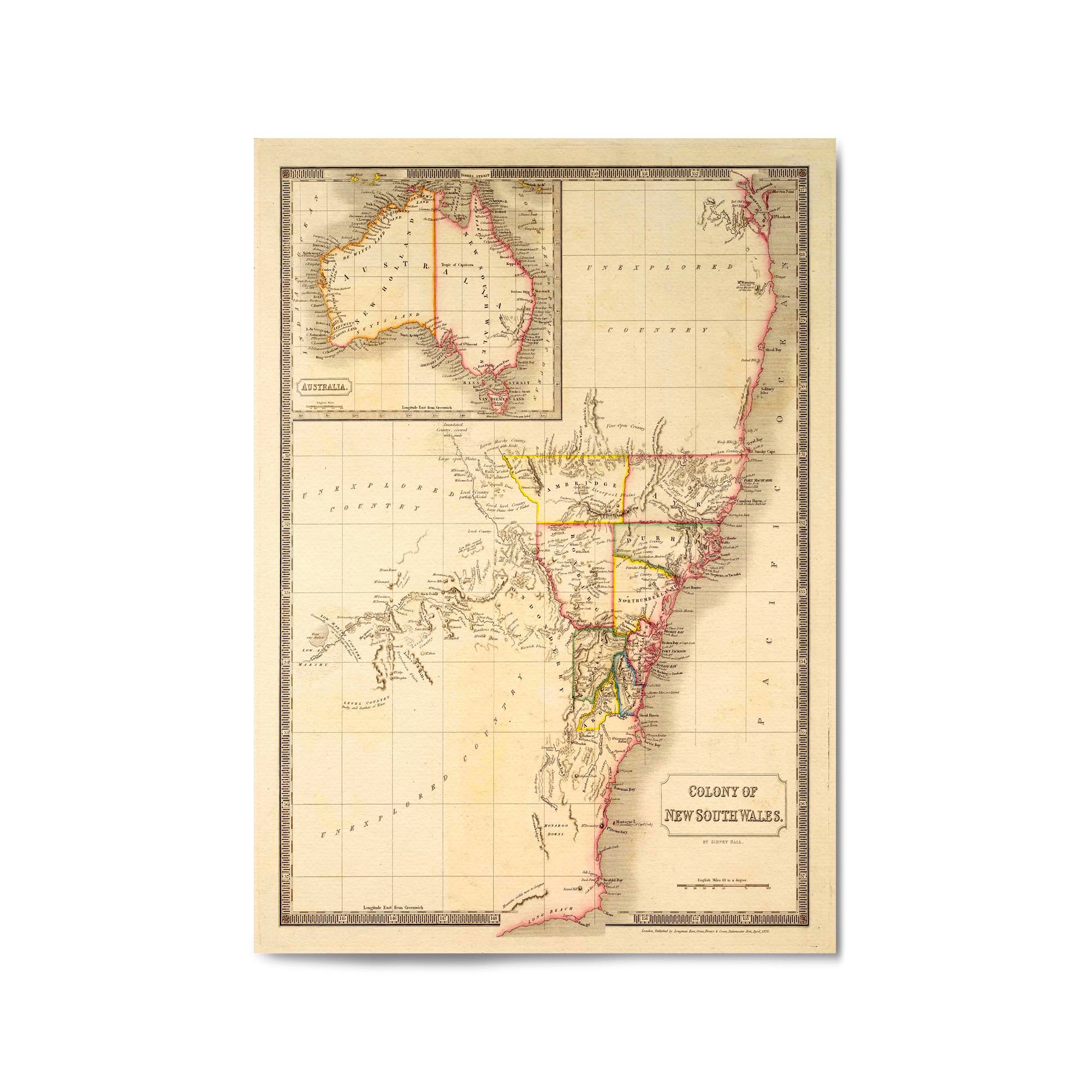
1828 Colony of New South Wales
From
$45.00
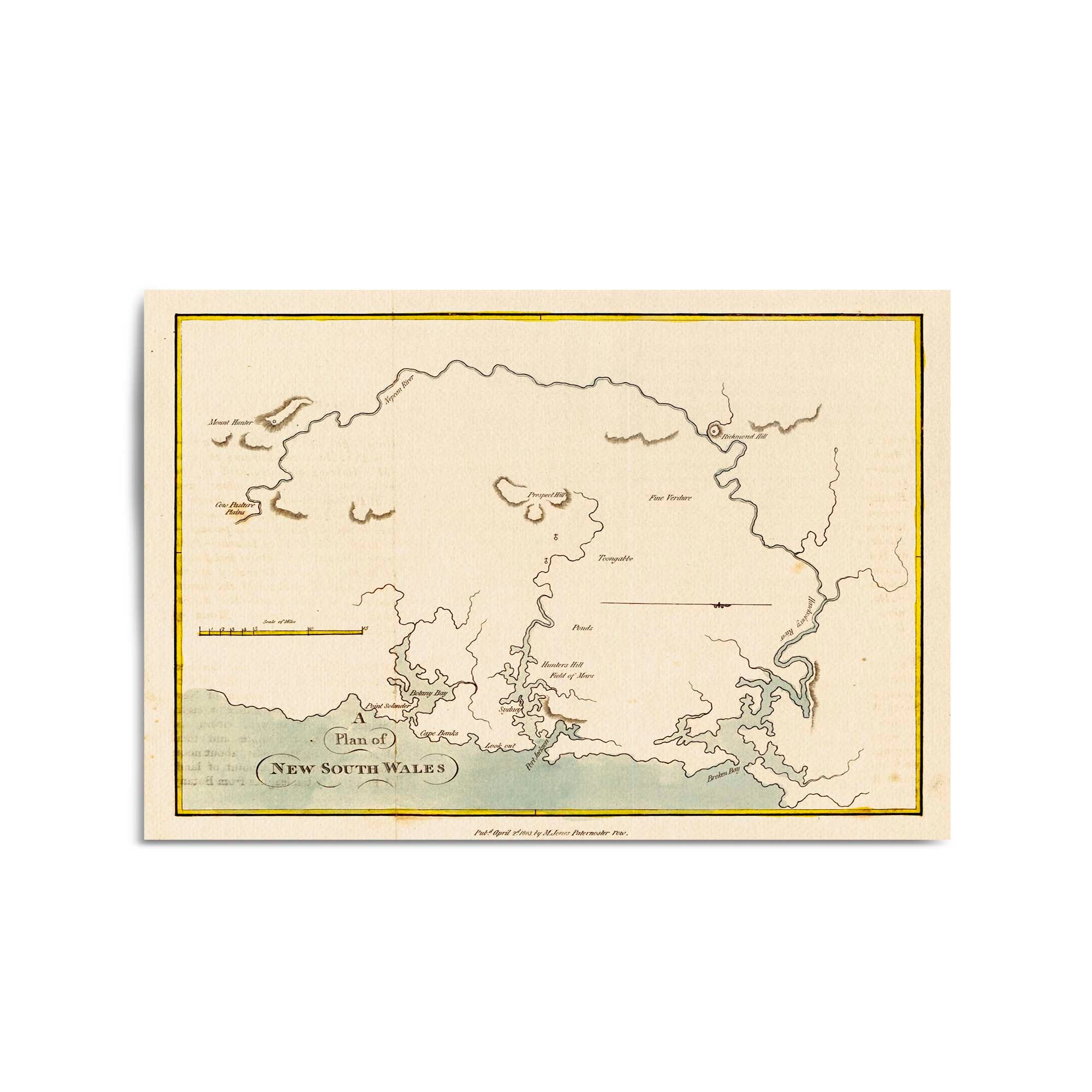
1803 Plan of New South Wales
From
$45.00
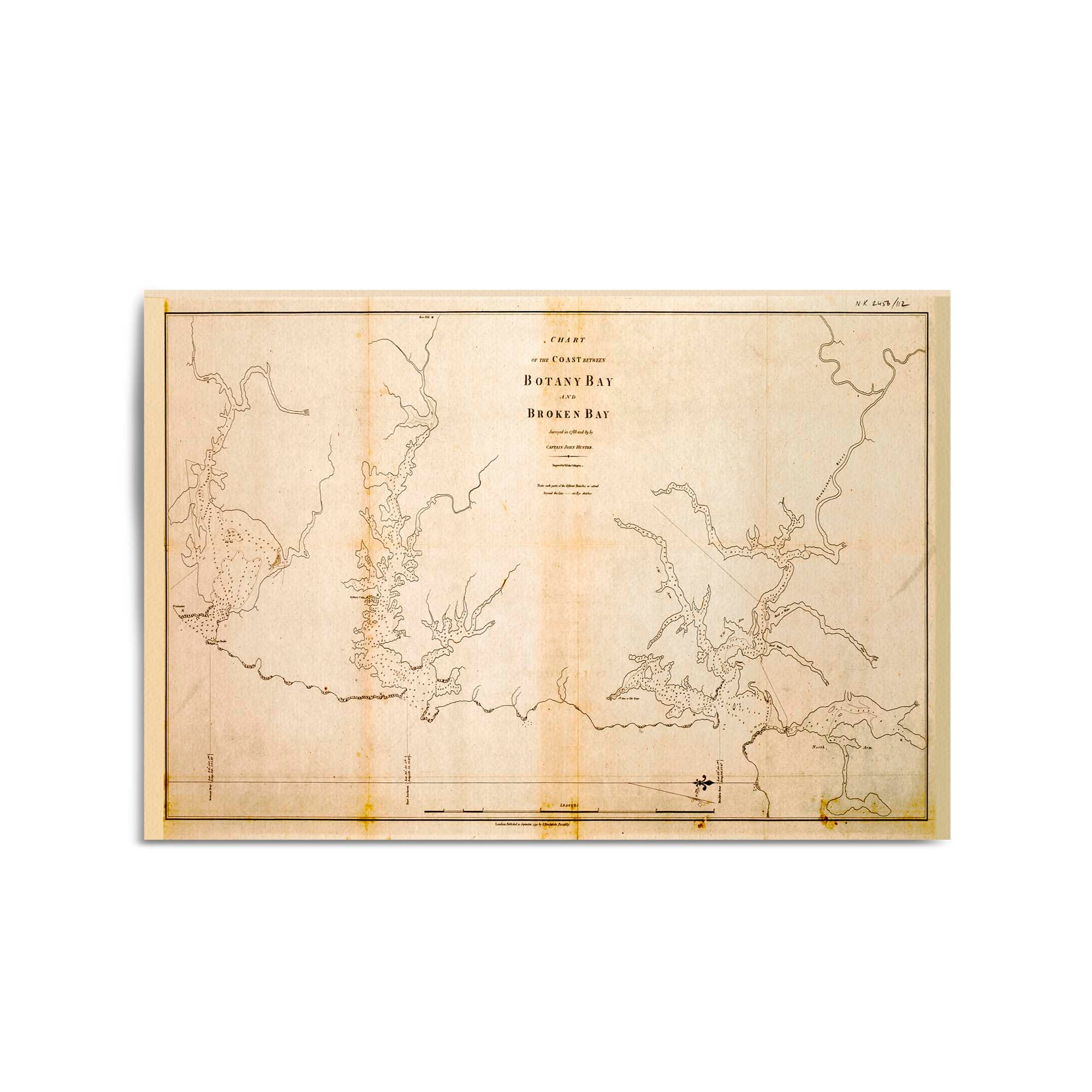
1788 Chart of the Coast between Botany Bay and Broken Bay
From
$45.00
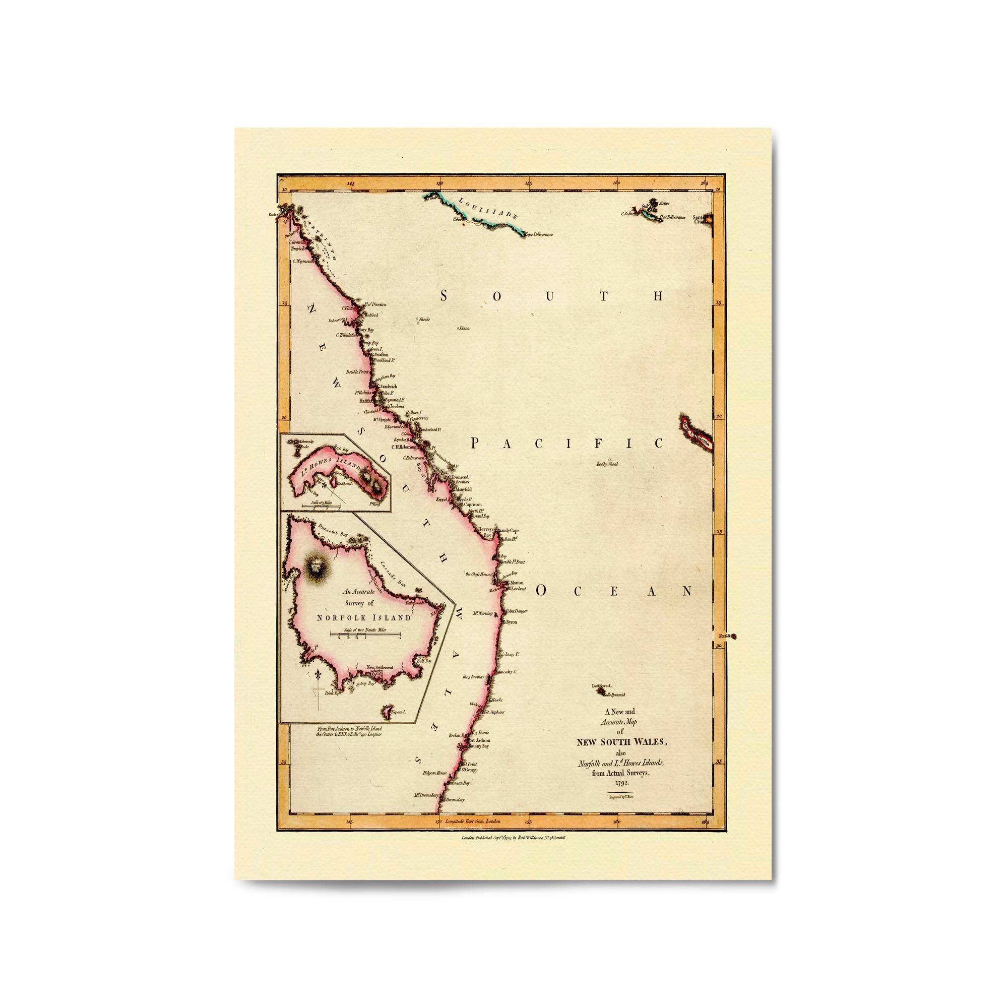
1800 Map of New South Wales (and Queensland) with Norfolk and Lord Howes Islands
From
$45.00
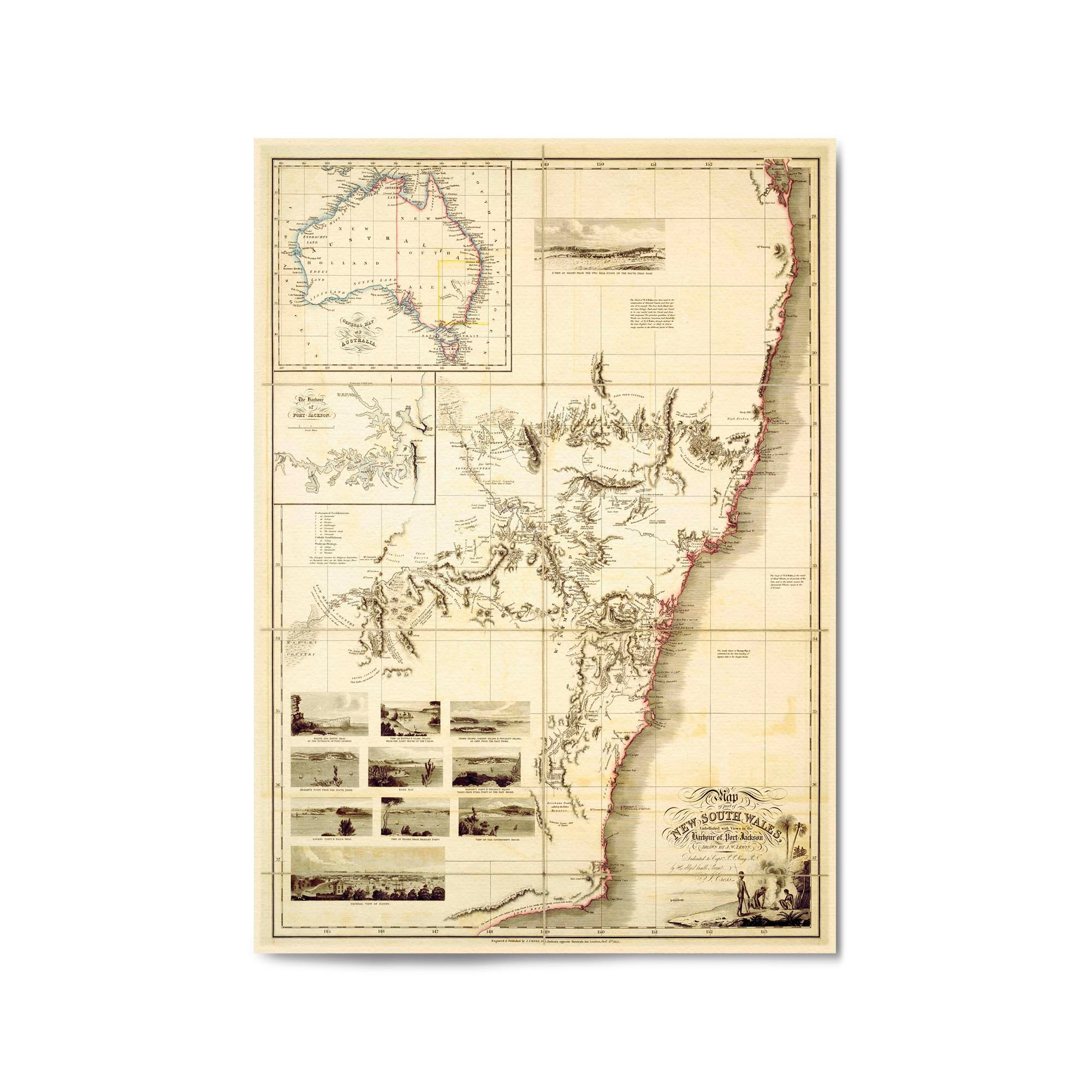
1825 Map of part of New South Wales
From
$45.00
1890s Tourists Map of New South Wales
From
$45.00