Skip to content
Search
Interactive Map Finder
World Maps
Australia Maps
ACT Maps
NSW Maps
NT Maps
QLD Maps
SA Maps
TAS Maps
VIC Maps
WA Maps
Gift Vouchers
Account
Search
Cart
Search By Street Name or Suburb e.g. 'Punt Road' or Toorak
Interactive Map Finder
World Maps
Australia Maps
ACT Maps
NSW Maps
NT Maps
QLD Maps
SA Maps
TAS Maps
VIC Maps
WA Maps
Gift Vouchers
🚚 Free Shipping
Australia-wide.
↩️ No Fuss
14-Days Free Returns.
Excellent ⭐⭐⭐⭐⭐
2,500 Happy Customers.
Free Shipping Australia-Wide — No-Fuss 14 Day Free Returns — Over 2,500 Happy Customers
Customers rate us 5.0/5 based on 15 reviews.
Recently Added
6473 products
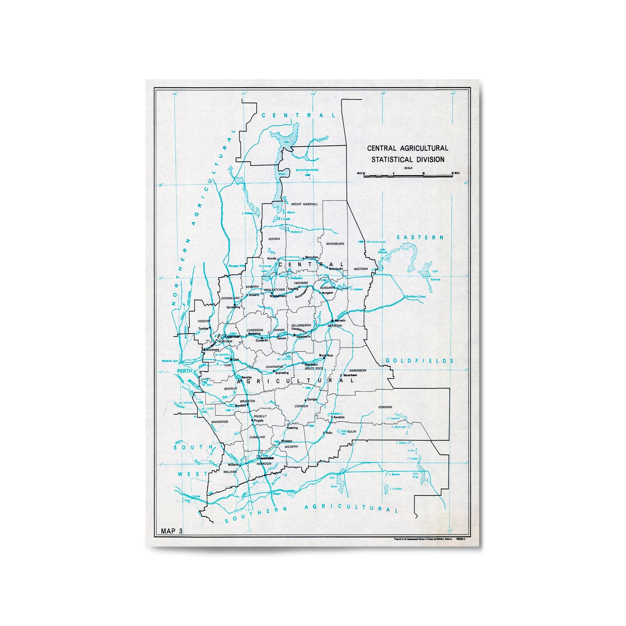
1966 Map of Central Western Australia
From
$45.00
z1930 Vintage Map of Preston, Victoria Australia
From
$45.00
1903 Vintage Map of Hawthorn, Victoria, Australia
From
$45.00
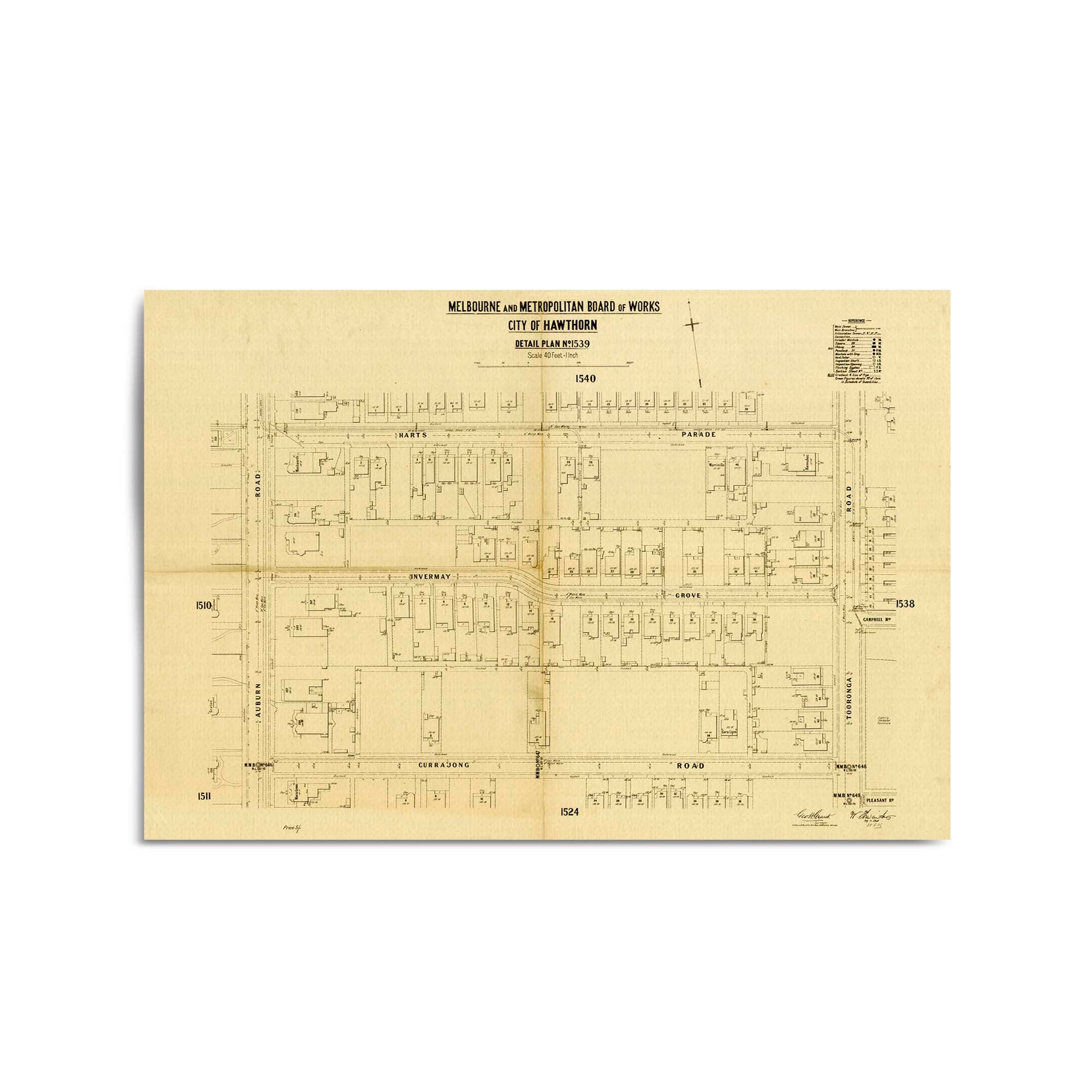
1904 Map of Hawthorne, Victoria (Invermay Grove & Surrounds)
From
$45.00
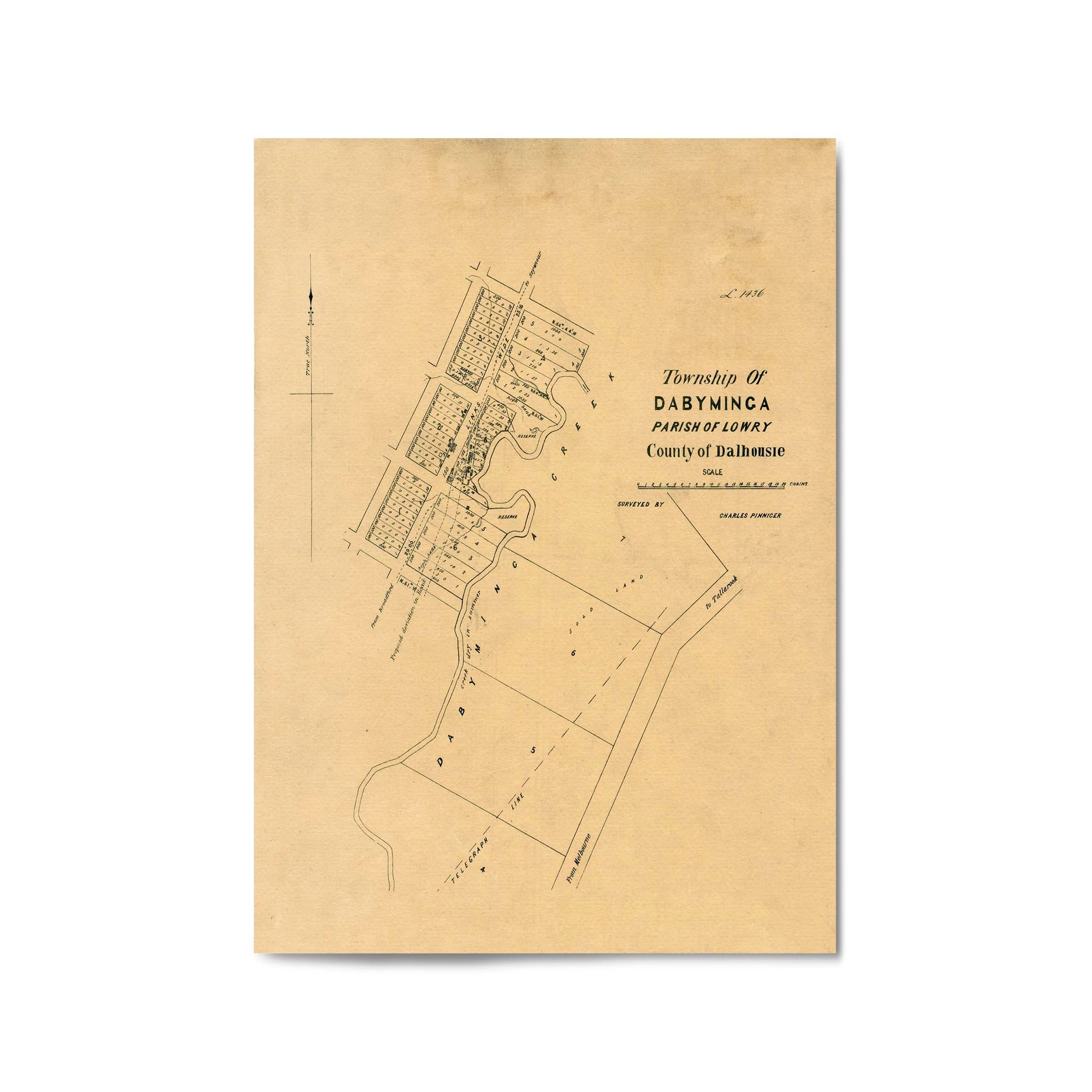
1850's Vintage Map of the Proposed Town of Dabyminga (Tallarook), Victoria Australia
From
$45.00
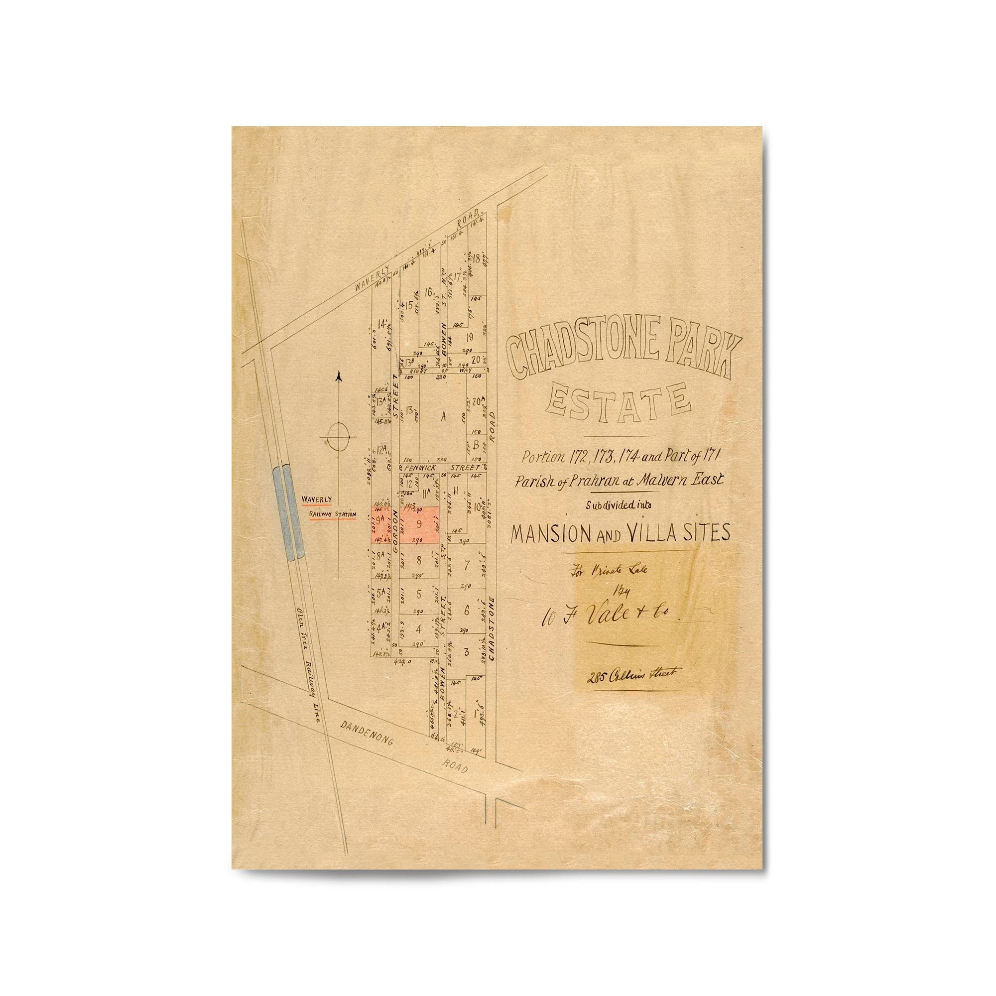
1914 Vintage Map of East Malvern, Victoria Australia
From
$45.00
1908 Vintage Map of Brighton, Victoria Australia
From
$45.00
1906 Vintage Map of Northcote, Victoria Australia
From
$45.00
1955 Map of Northern Territory
From
$45.00
1968 Map of East Arnhem, Northern Territory
From
$45.00
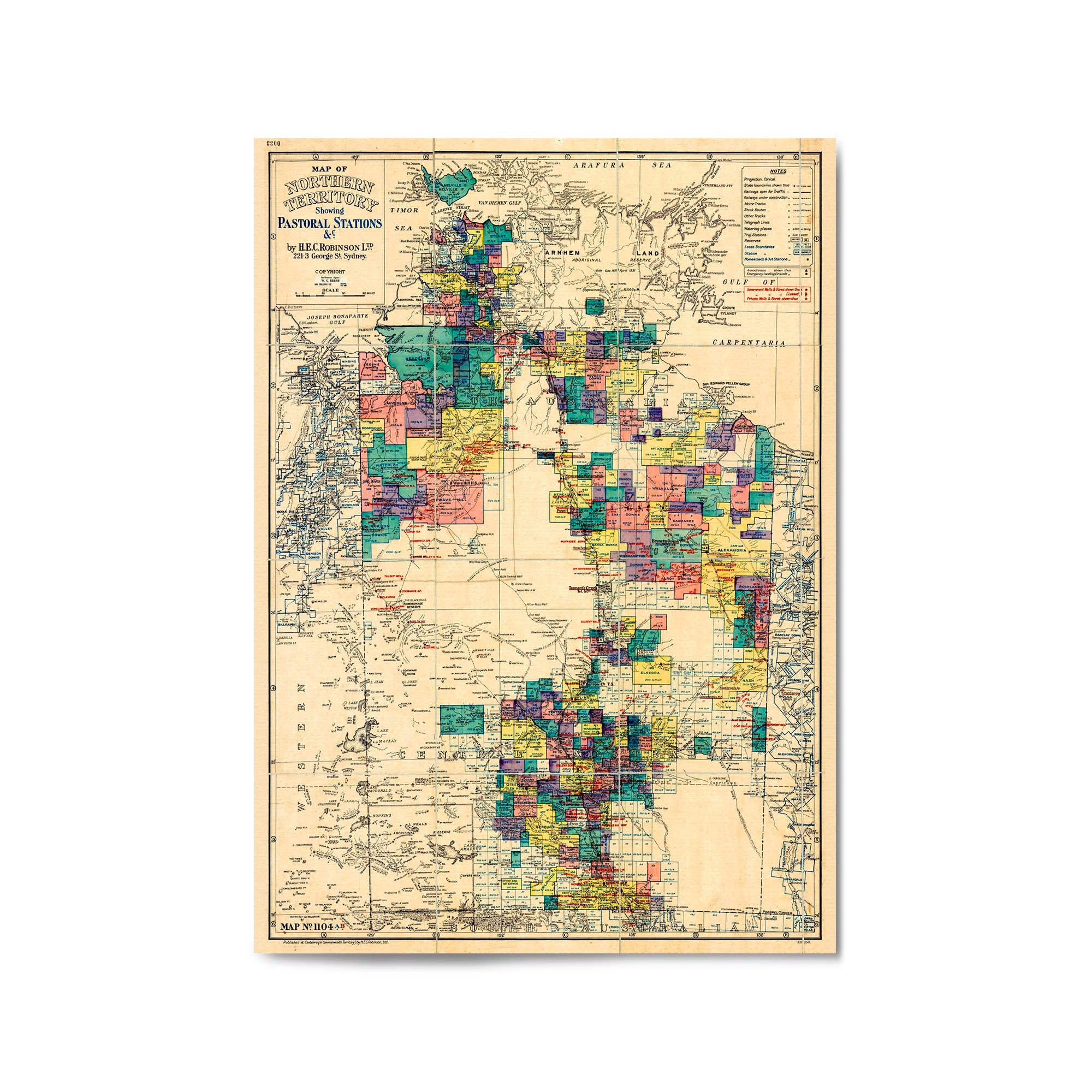
1933 Map of the Northern Territory
From
$45.00
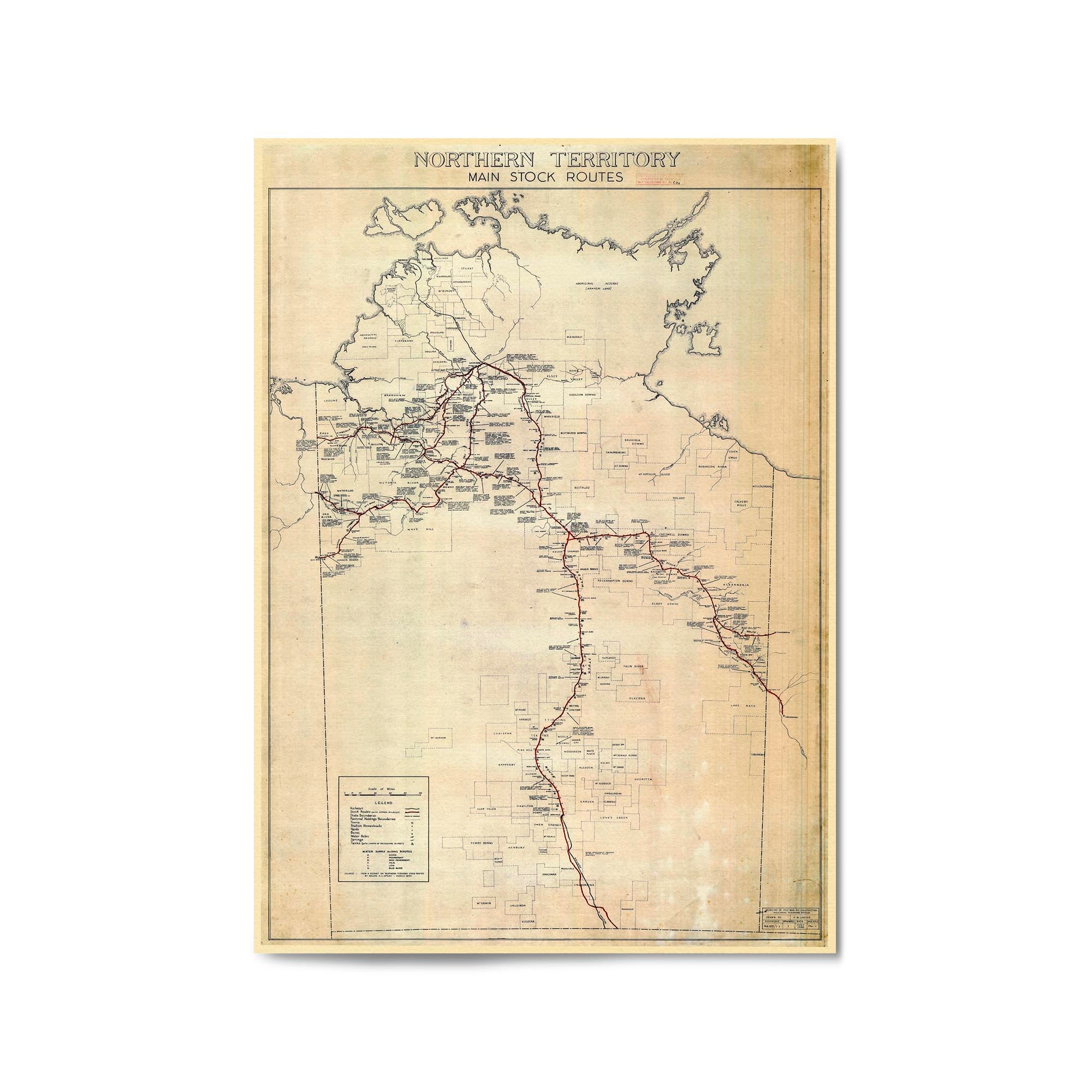
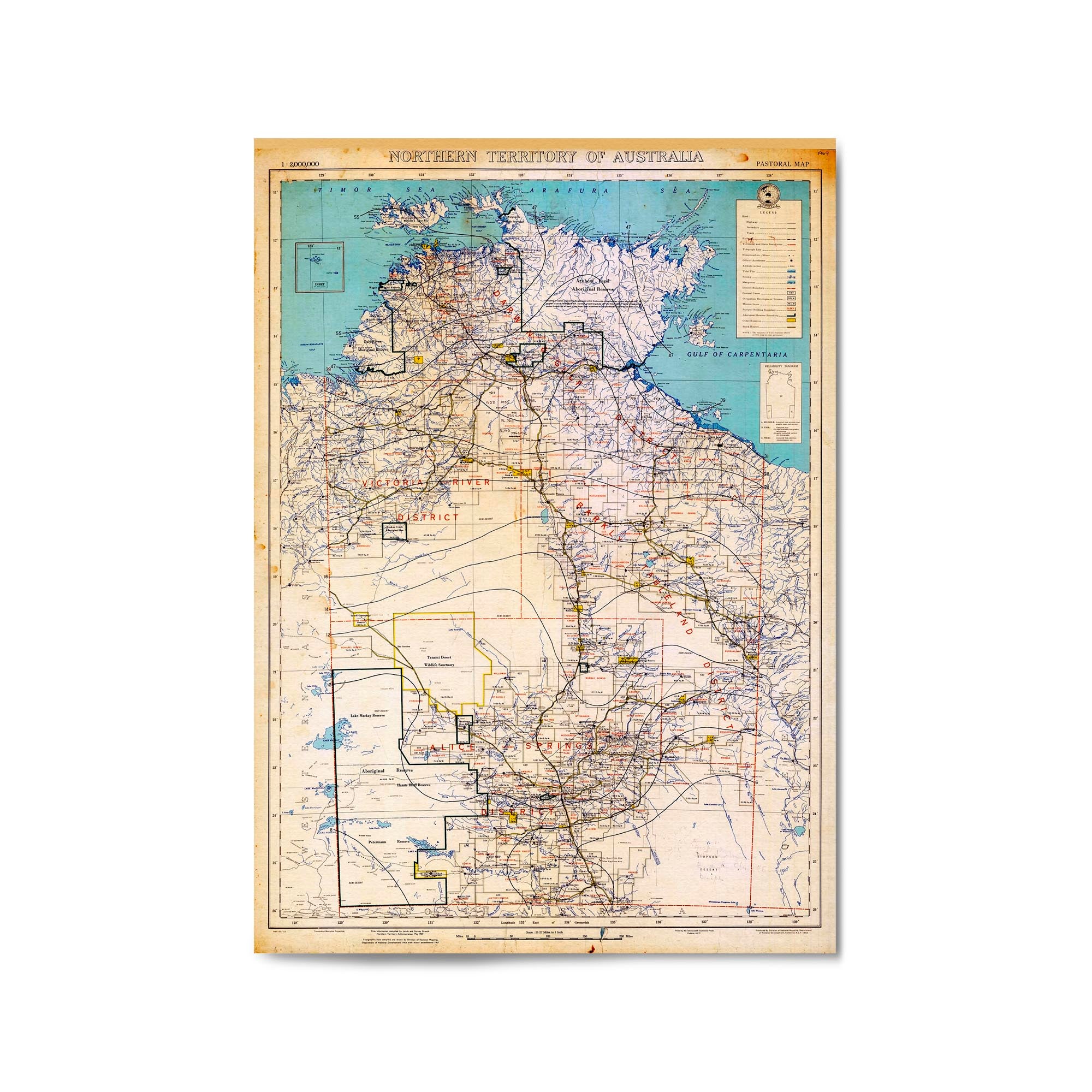
1946 Map of the Northern Territory Showing Main Stock Routes
From
$45.00
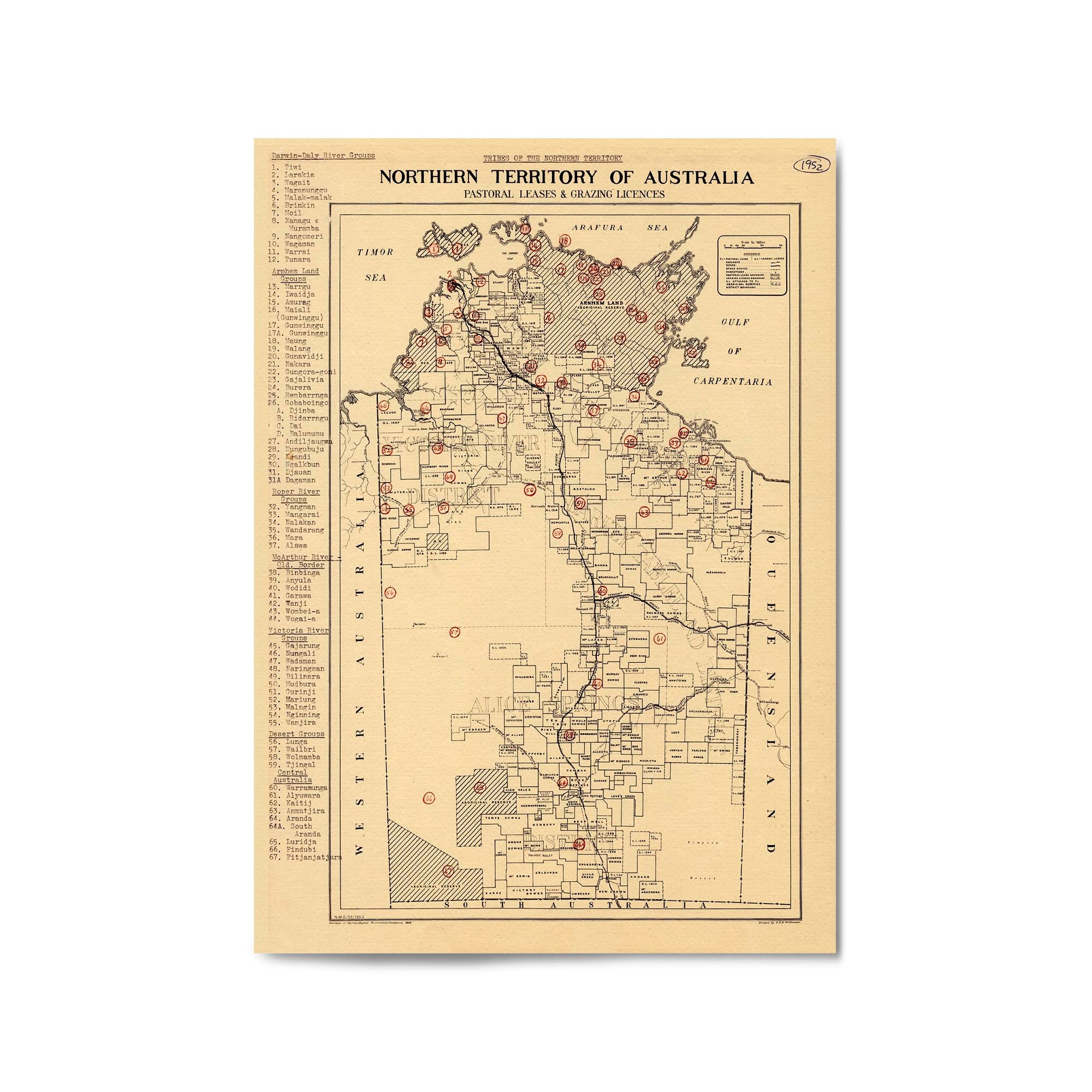
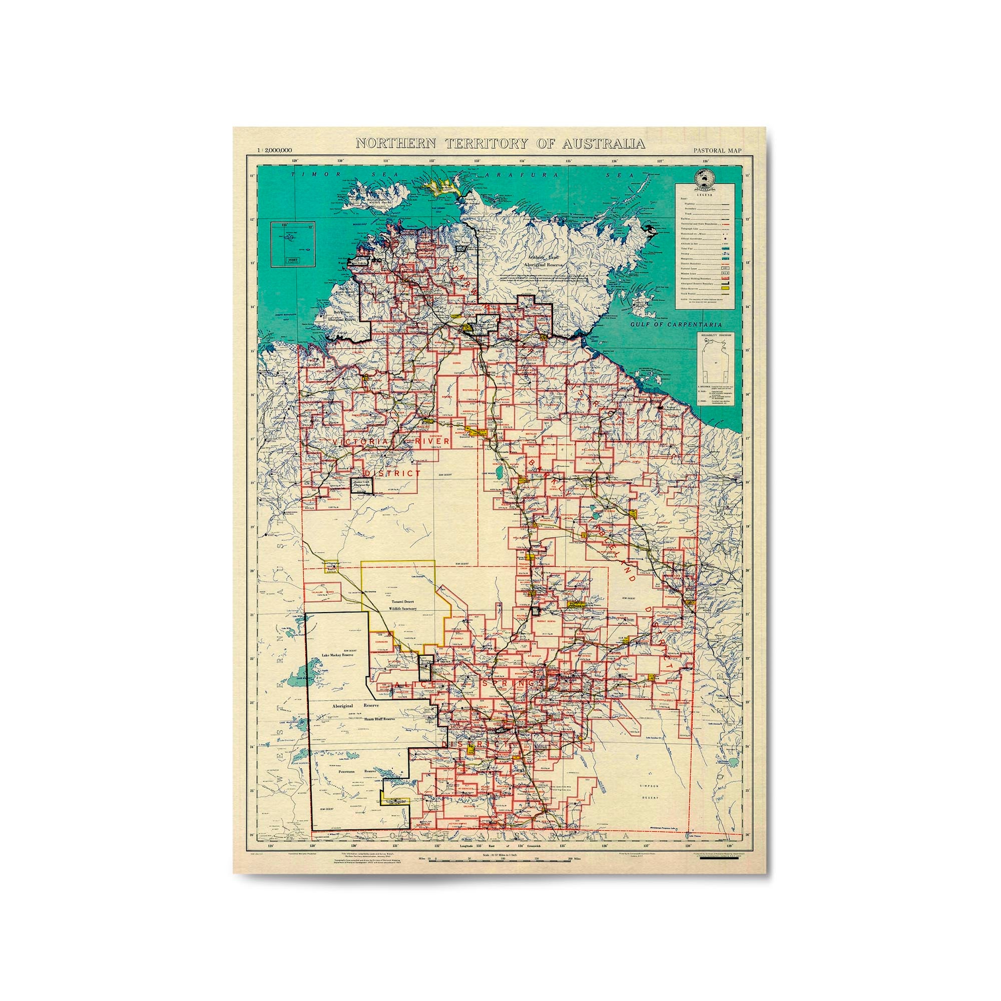
1952 Map of the Northern Territory Showing Pastoral Leases & Grazing Licences
From
$45.00
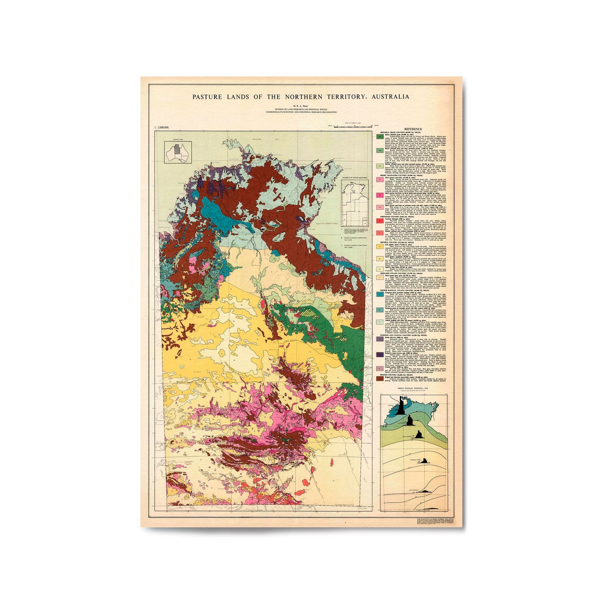
1960 Pasture Lands Map of the Northern Territory
From
$45.00
1965 Map of the Northern Territory
From
$45.00
1969 Map of the Northern Territory
From
$45.00
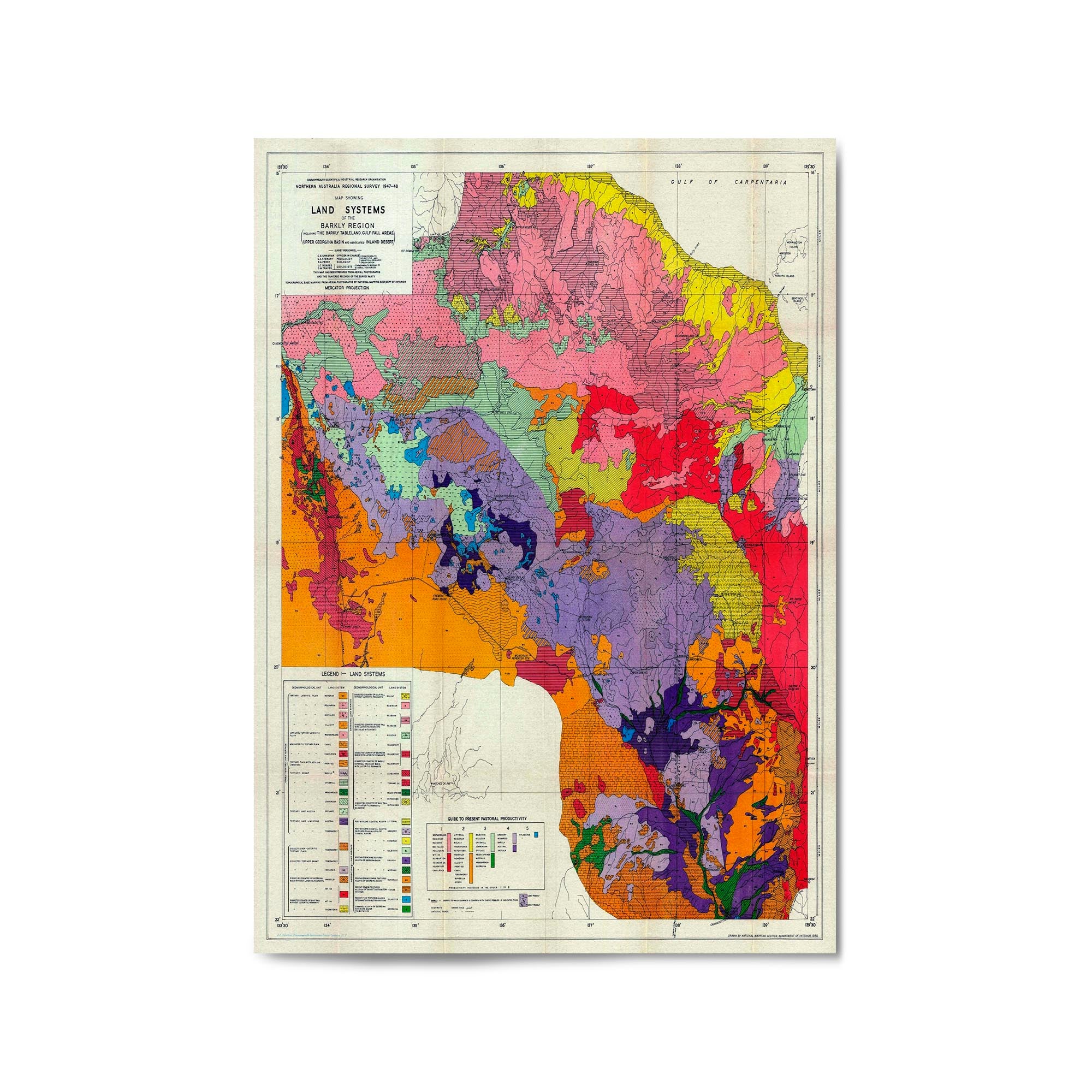
1950 Map of Barkly Region, Northern Territory
From
$45.00
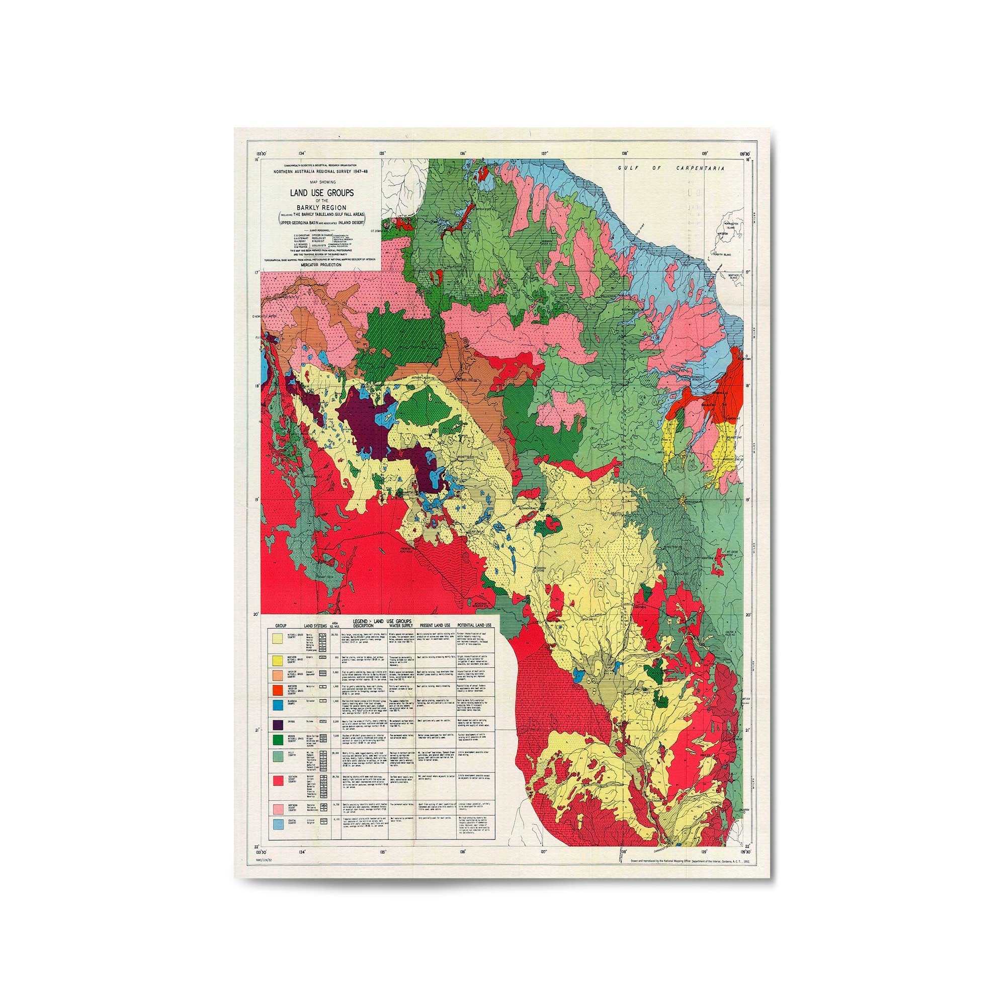
1952 Map of Barkly Region, Northern Territory
From
$45.00
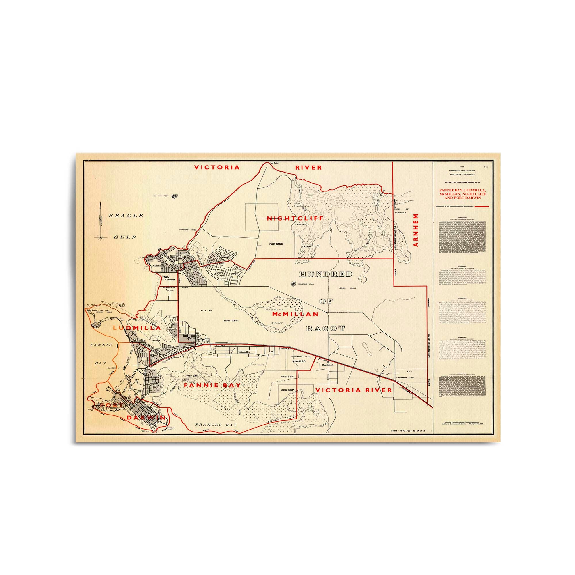
1968 Map of Darwin & Surrounds, Northern Territory
From
$45.00
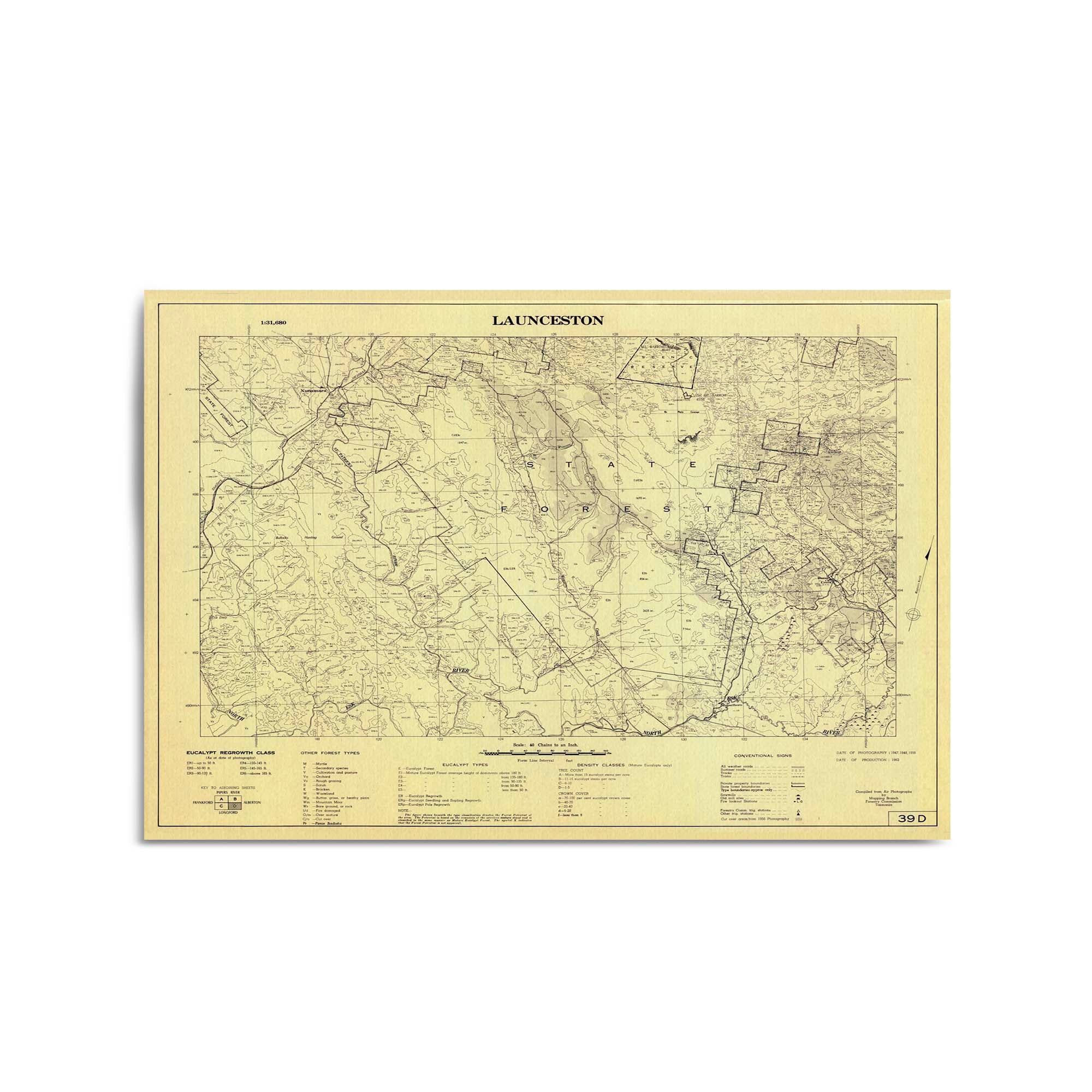
1962 Map of Launceston & Surrounds, Tasmania
From
$45.00
1963 Map of Myrtle Bank & Surrounds, Tasmania
From
$45.00
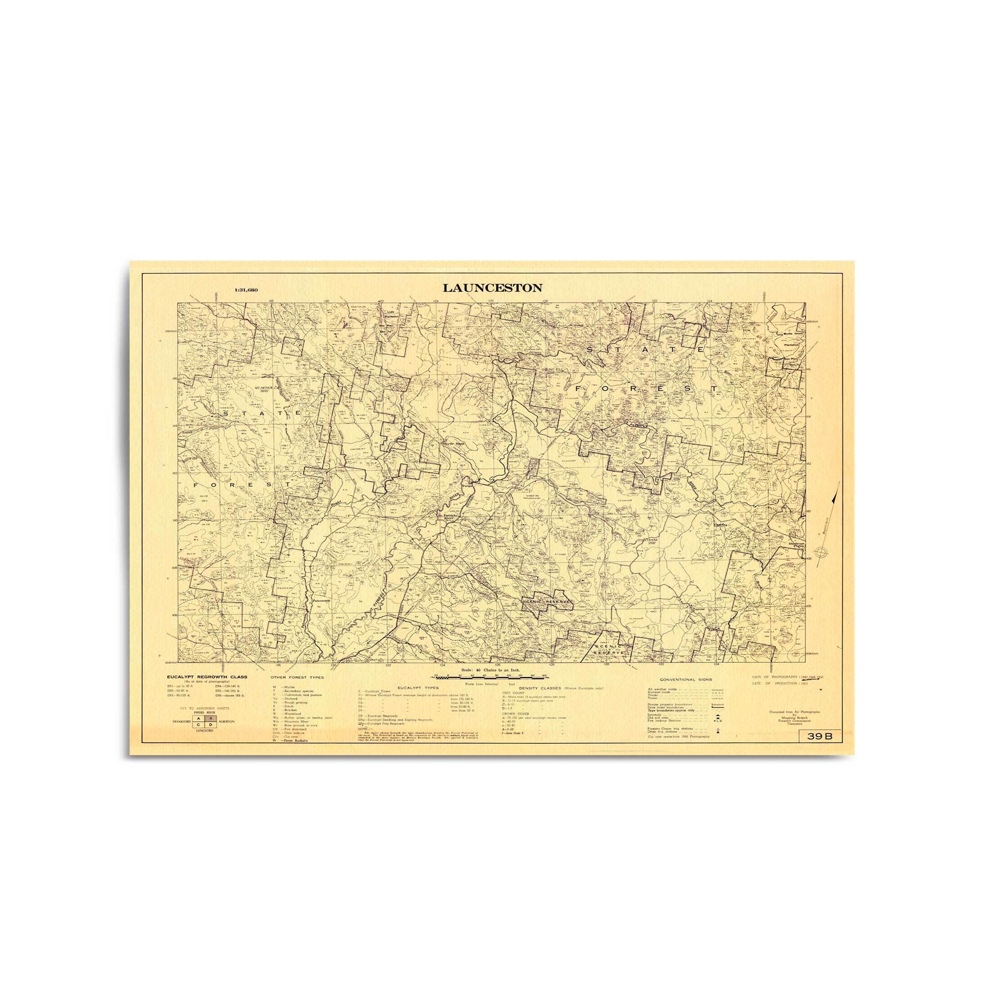
1963 Map of Launceston, Davenport & Surrounds, Tasmania
From
$45.00
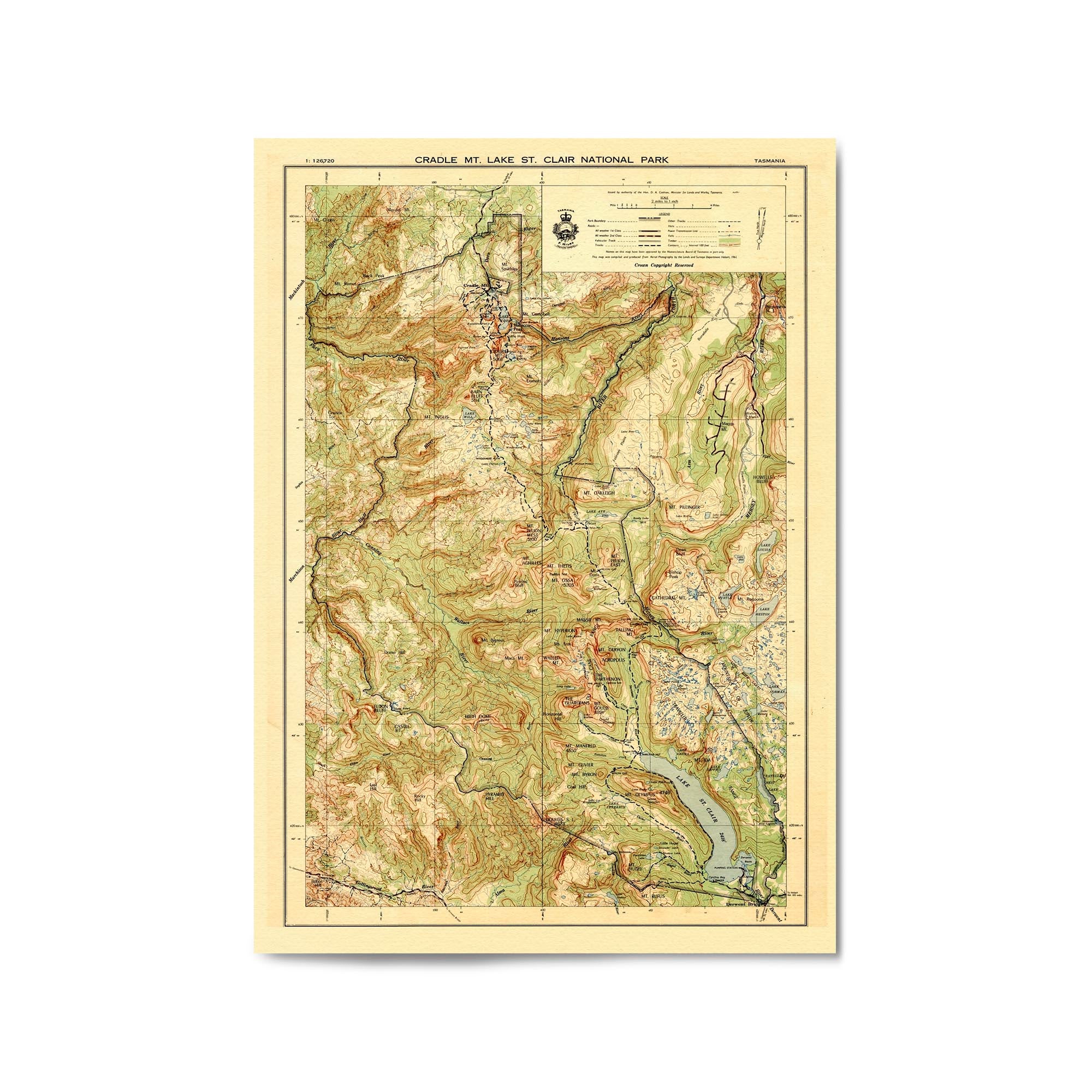
1961 Map of Cradle Mountain - Lake St Clair National Park, Tasmania
From
$45.00
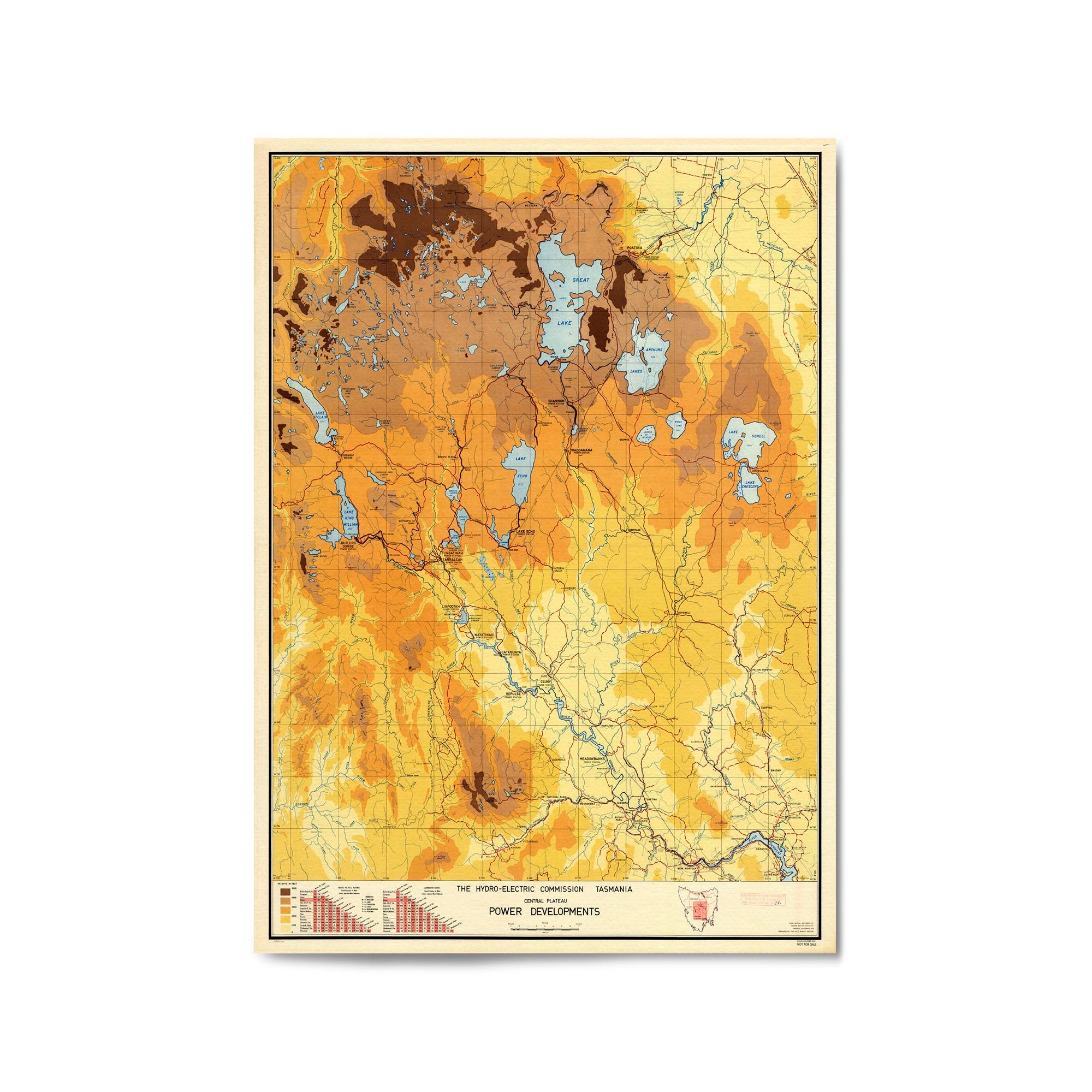
1961 Map of Great Lake & Surrounds, Tasmania
From
$45.00
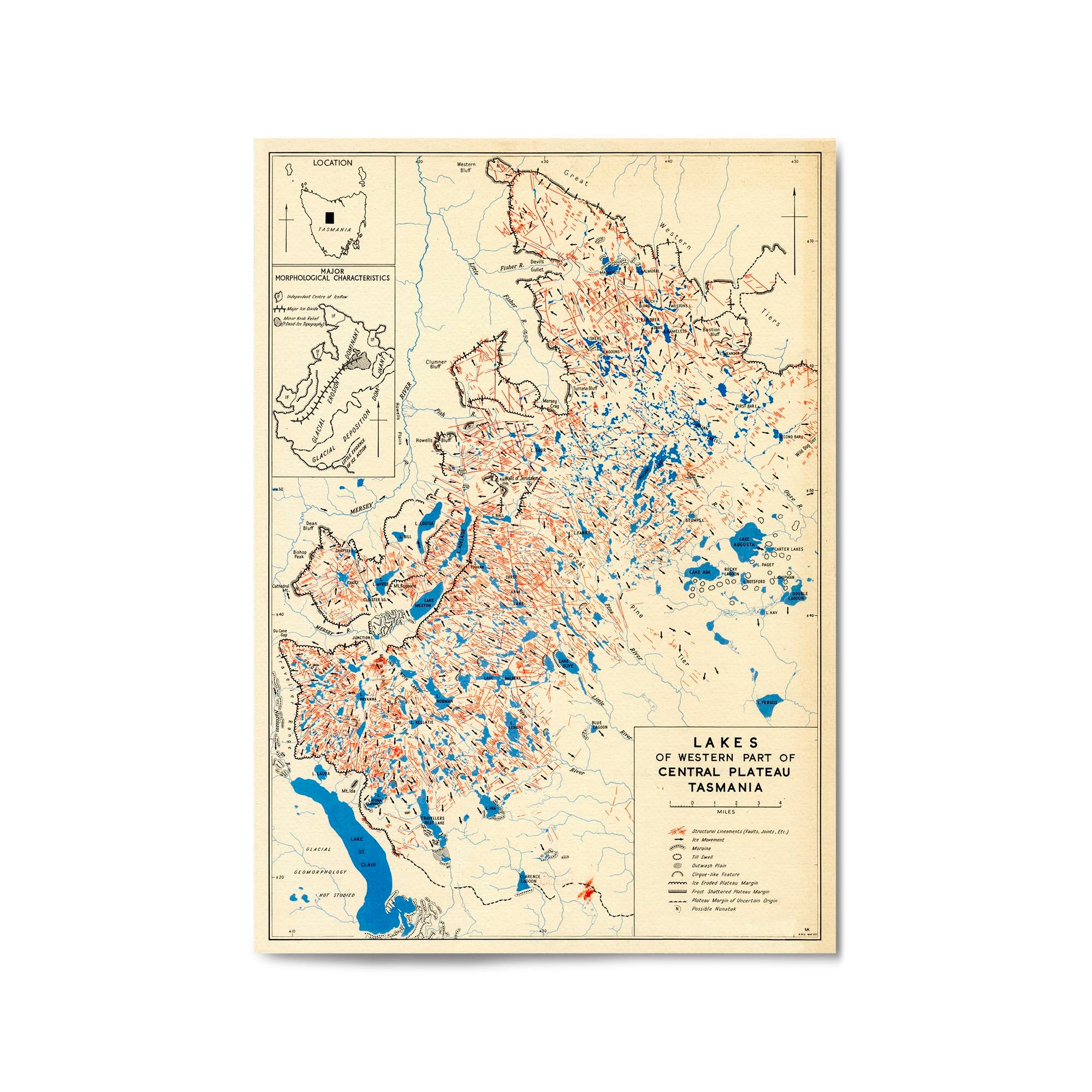
1957 Map of Walls of Jerusalem National Park, Tasmania
From
$45.00
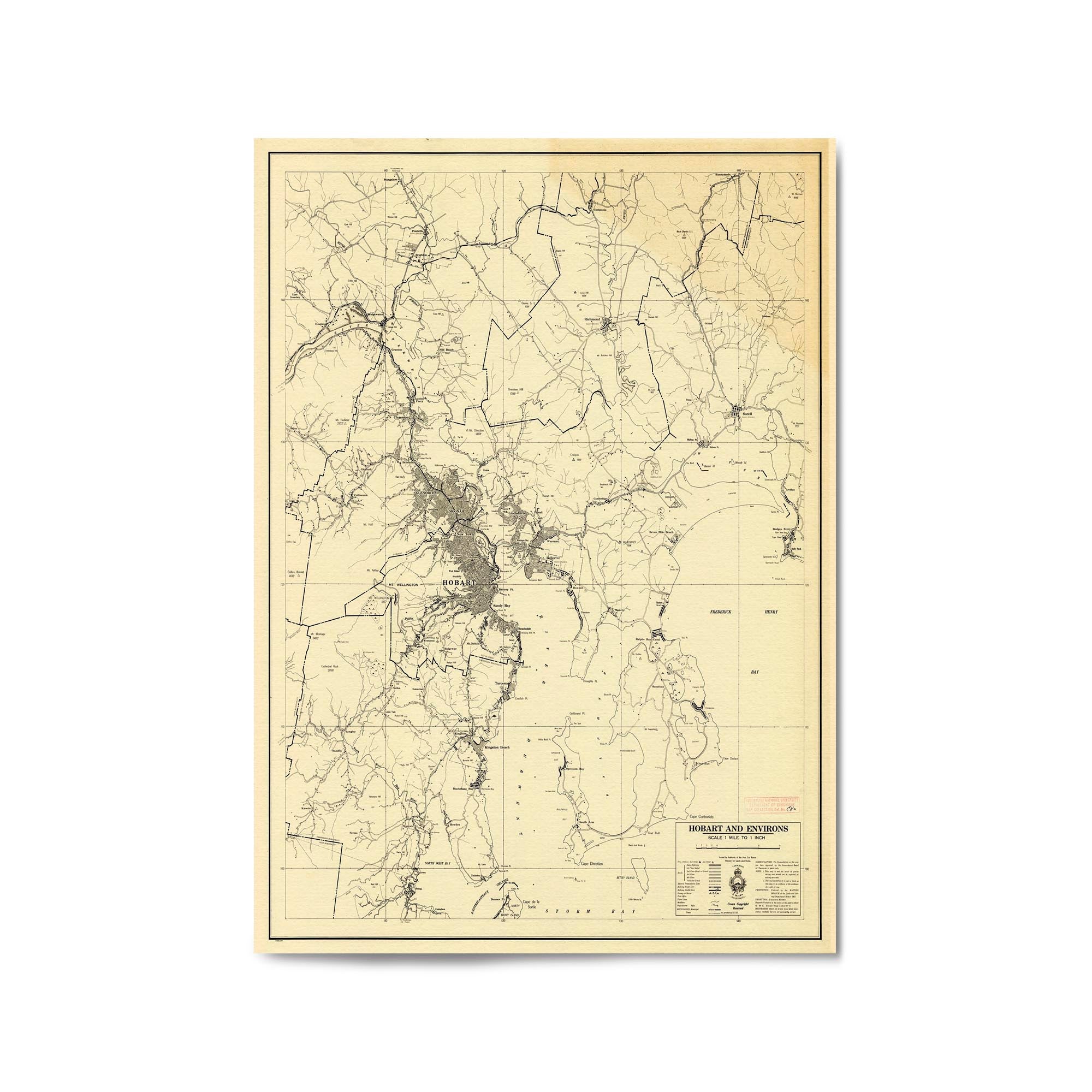
1957 Map of Hobart & Surrounds, Tasmania
From
$45.00
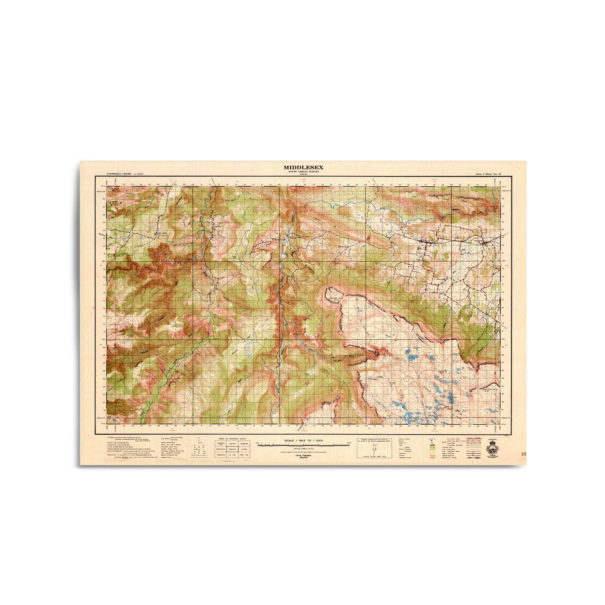
1956 Map of Middlesex & Surrounds, Tasmania
From
$45.00
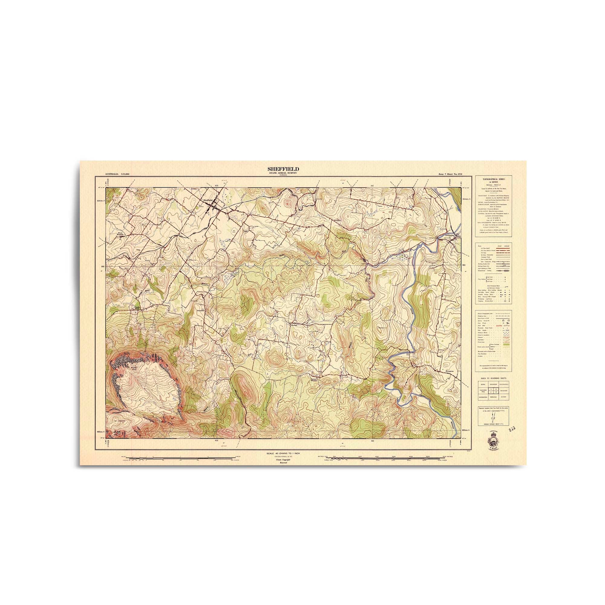
1957 Map of Sheffield & Surrounds, Tasmania
From
$45.00
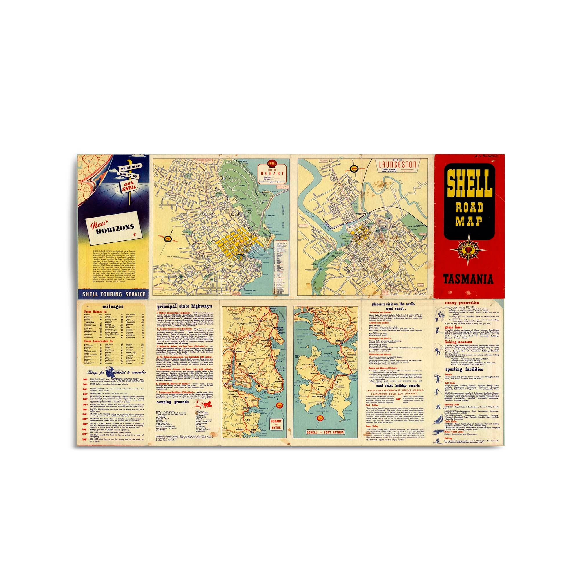
1956 Shell Road Map of Tasmania (Detail Page)
From
$45.00
1956 Shell Road Map of Tasmania
From
$45.00
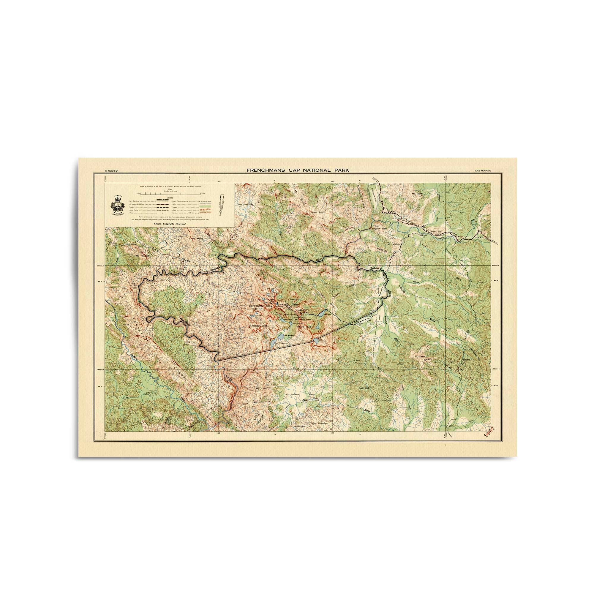
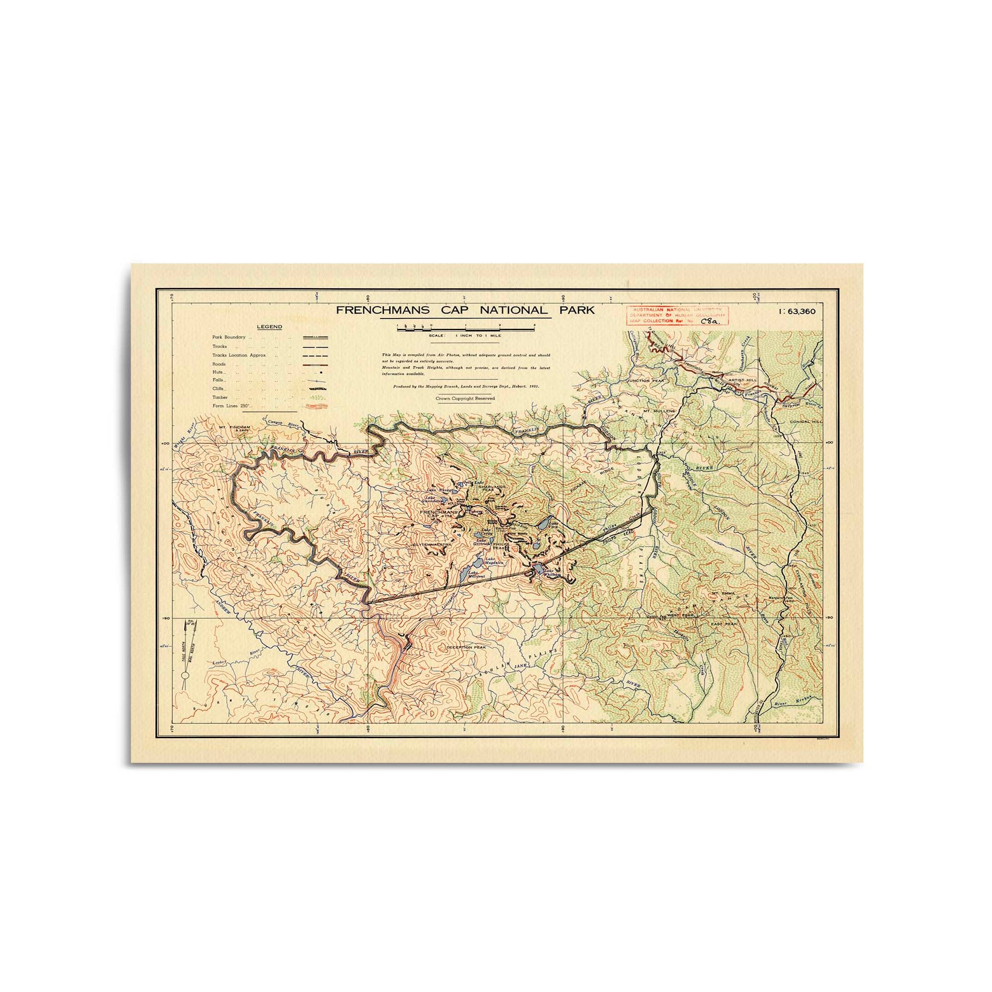
1961 Map of Frenchmans Cap National Park, Tasmania
From
$45.00
1952 Map of Frenchmans Cap National Park, Tasmania
From
$45.00
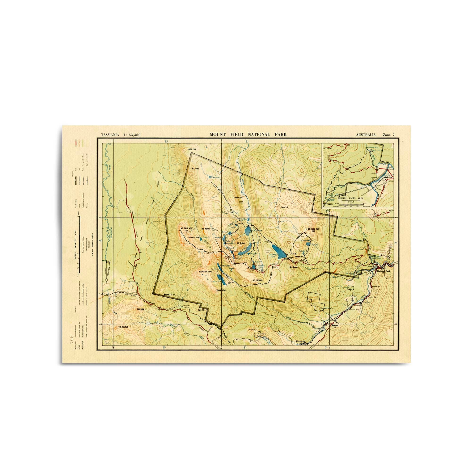
1952 Map of Mount Field, Tasmania
From
$45.00
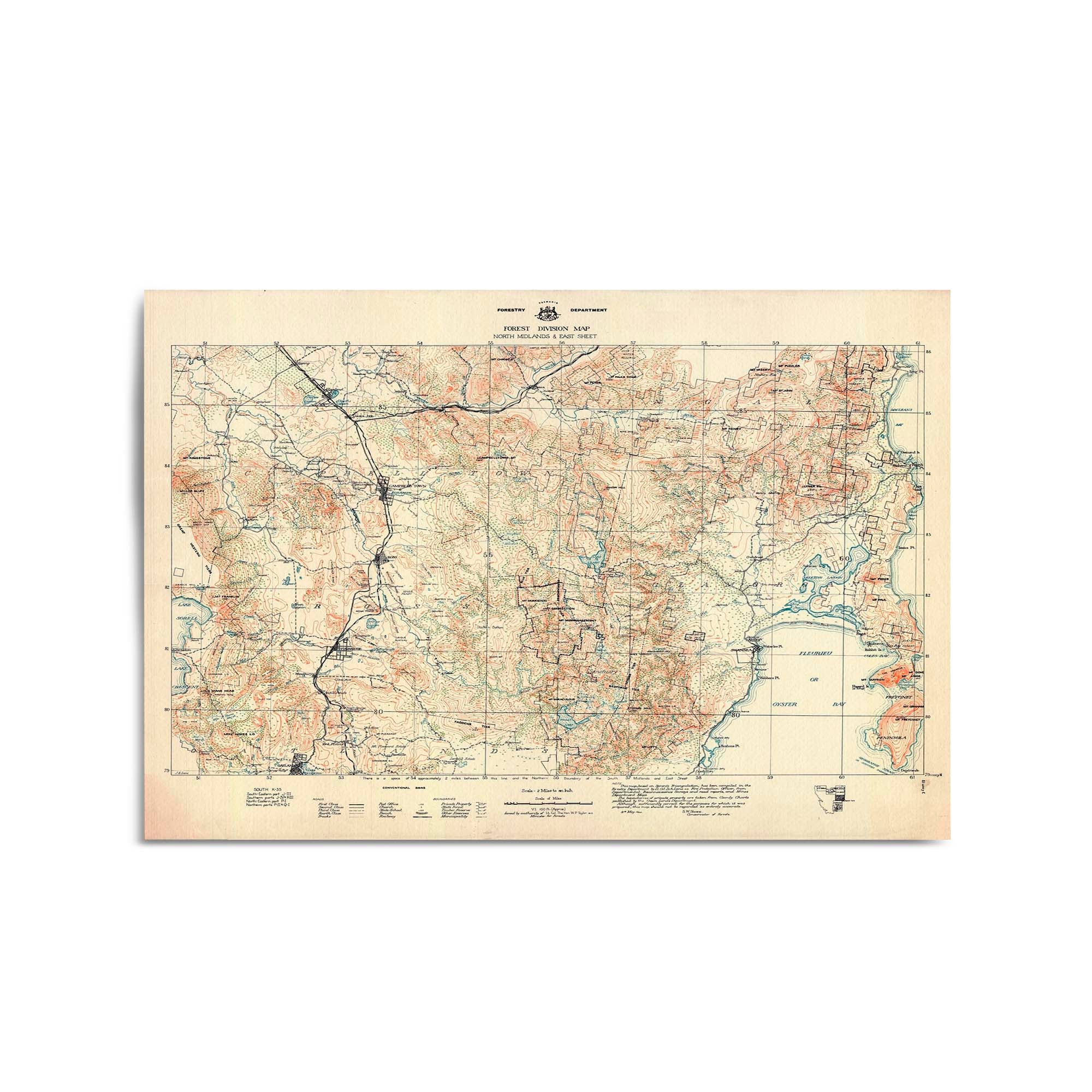
1944 Forest Division Map of Ross & Surrounds, Tasmania
From
$45.00
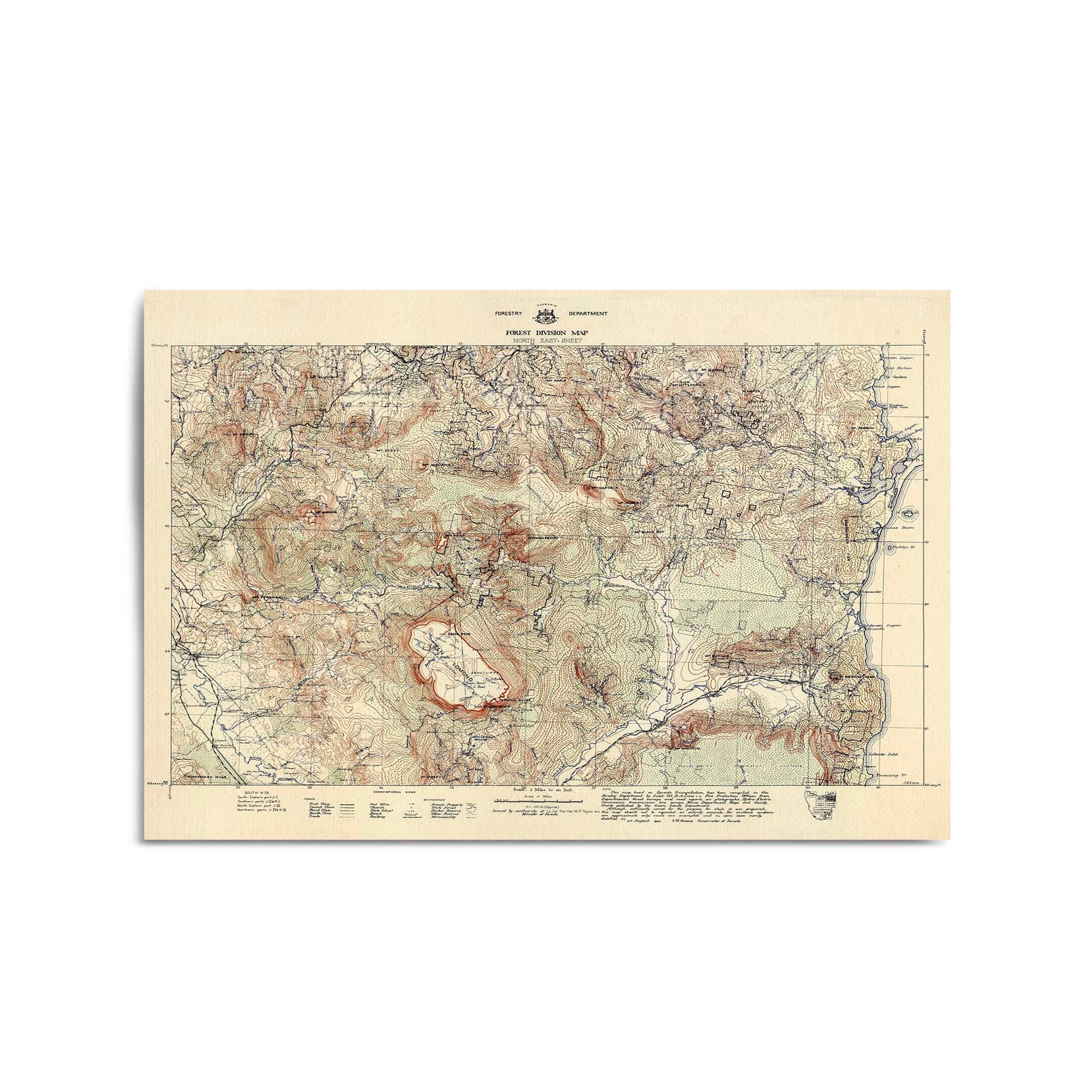
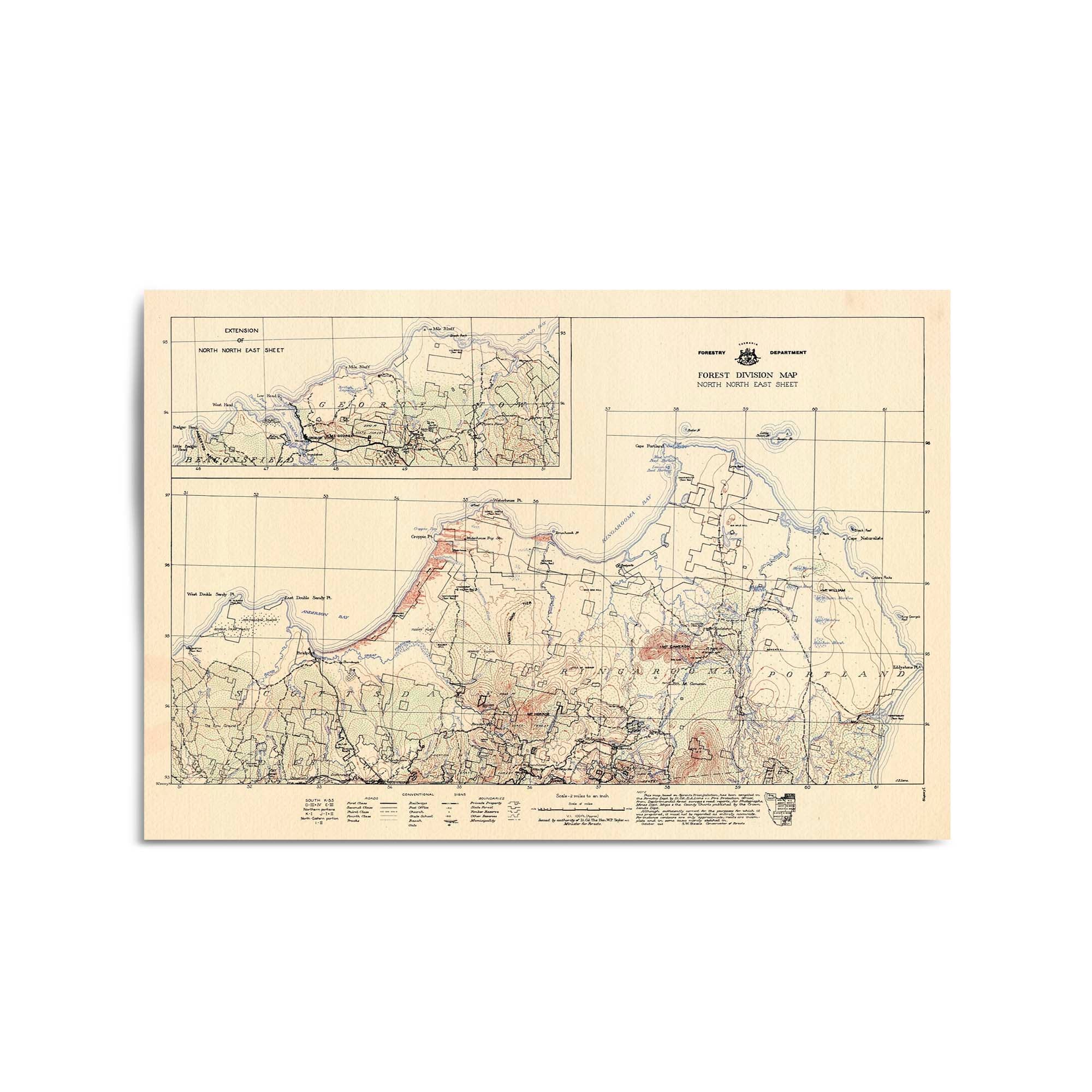
1943 Forest Division Map of St Helens & Surrounds, Tasmania
From
$45.00
1943 Forest Division Map of Bridport & Surrounds, Tasmania
From
$45.00
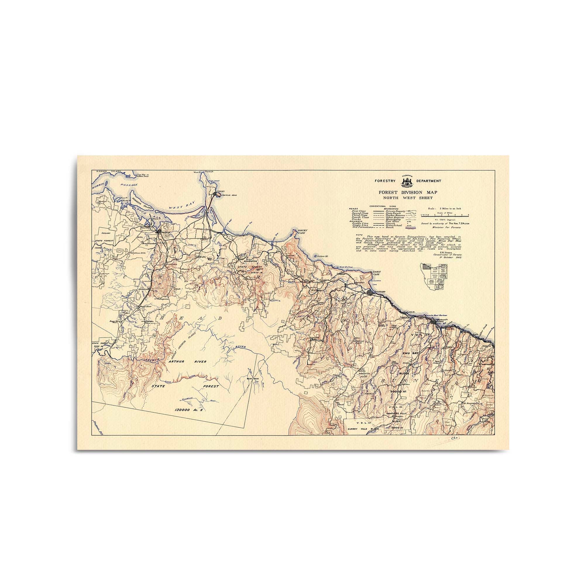
1942 Forest Division Map of North West Tasmania (Smithton, Wynyard & Burnie)
From
$45.00
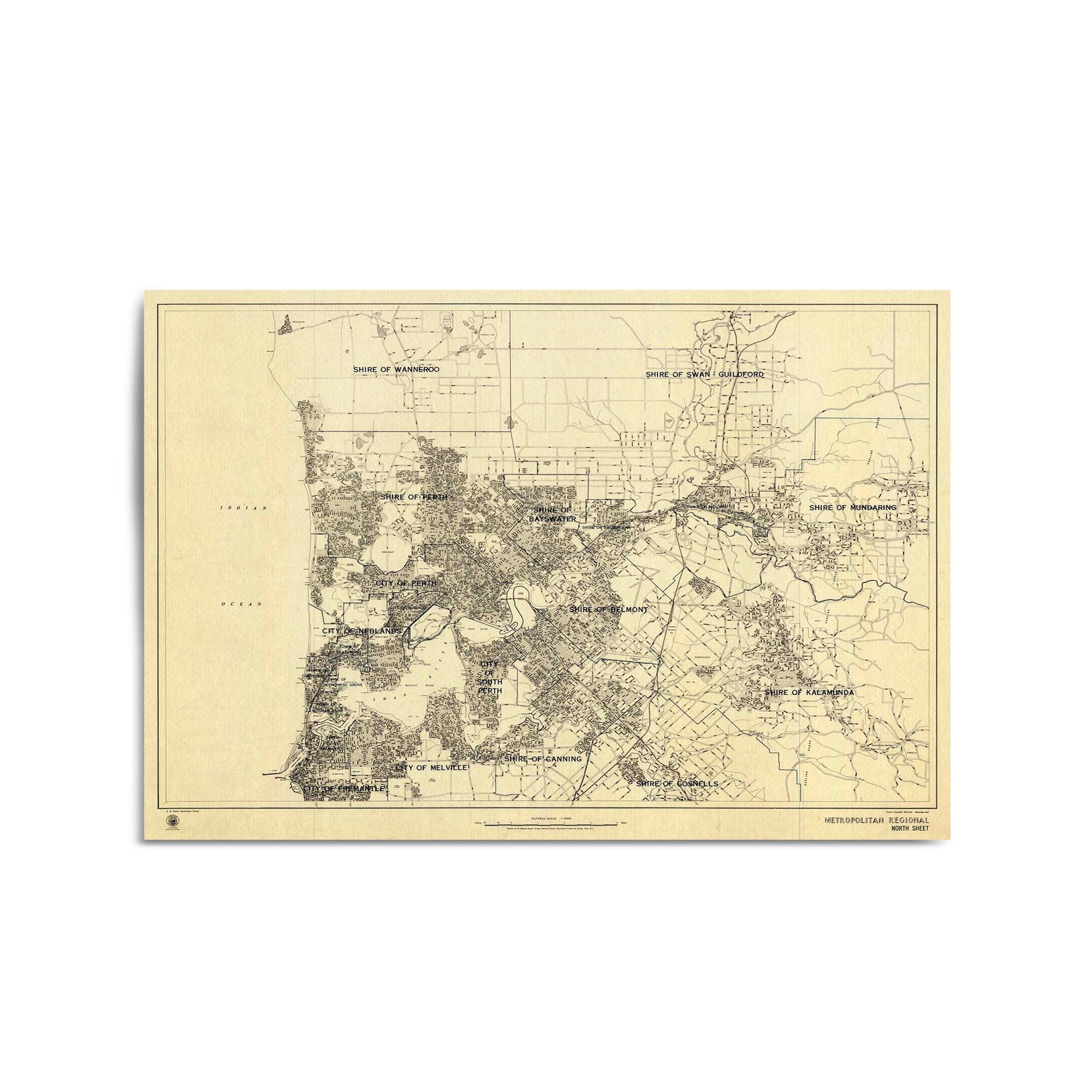
1942 Map of Perth & Surrounds, Western Australia
From
$45.00
1945 Map of Perth & Surrounds, Western Australia
From
$45.00
1967 Map of Perth & Surrounds, Western Australia
From
$45.00
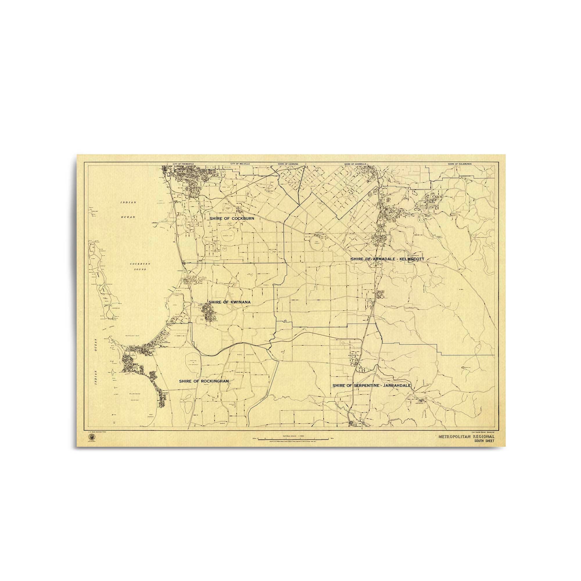
1967 Map of Rockingham & Surrounds, Western Australia
From
$45.00
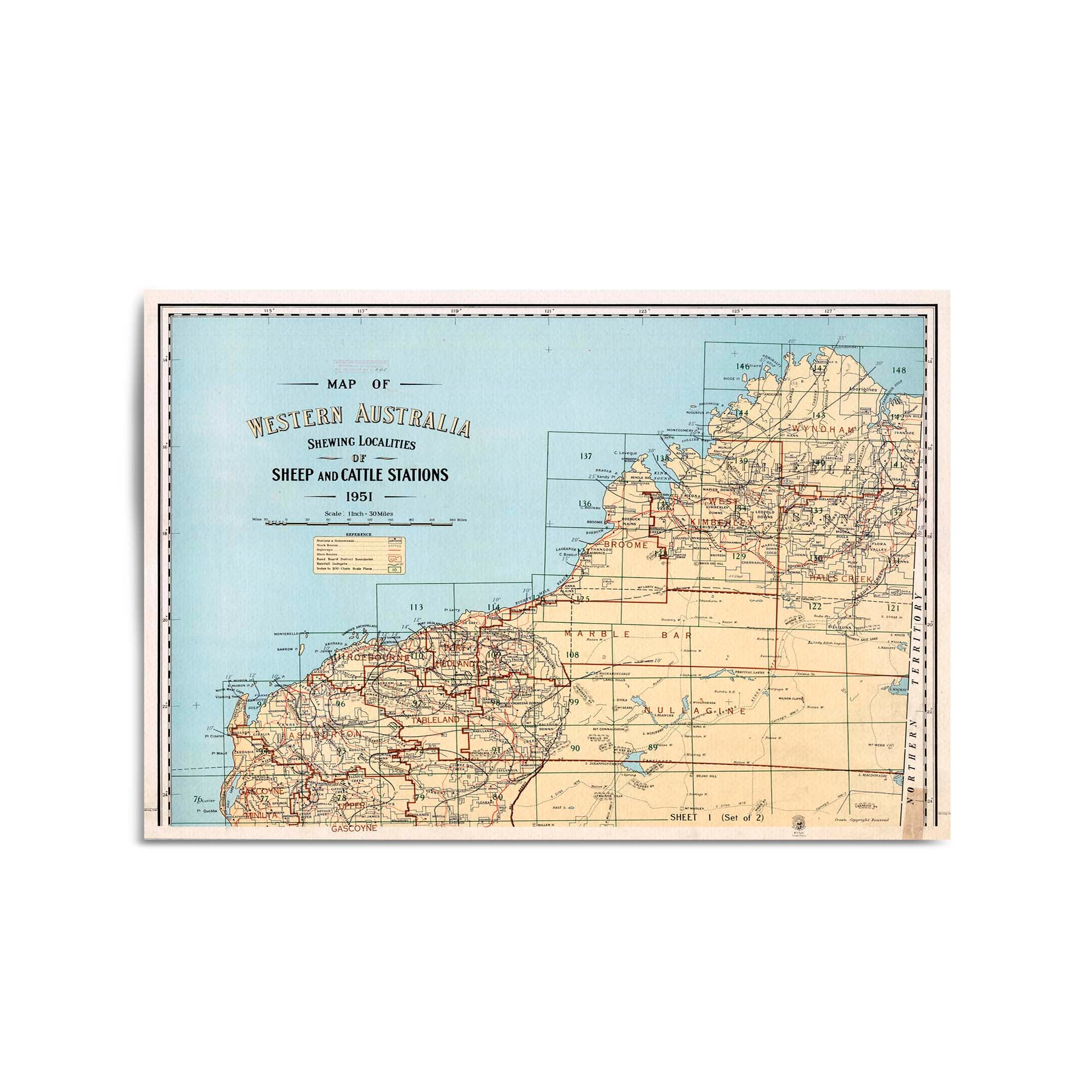
1951 Map of Northern Western Australia
From
$45.00
1951 Map of Southern Western Australia
From
$45.00
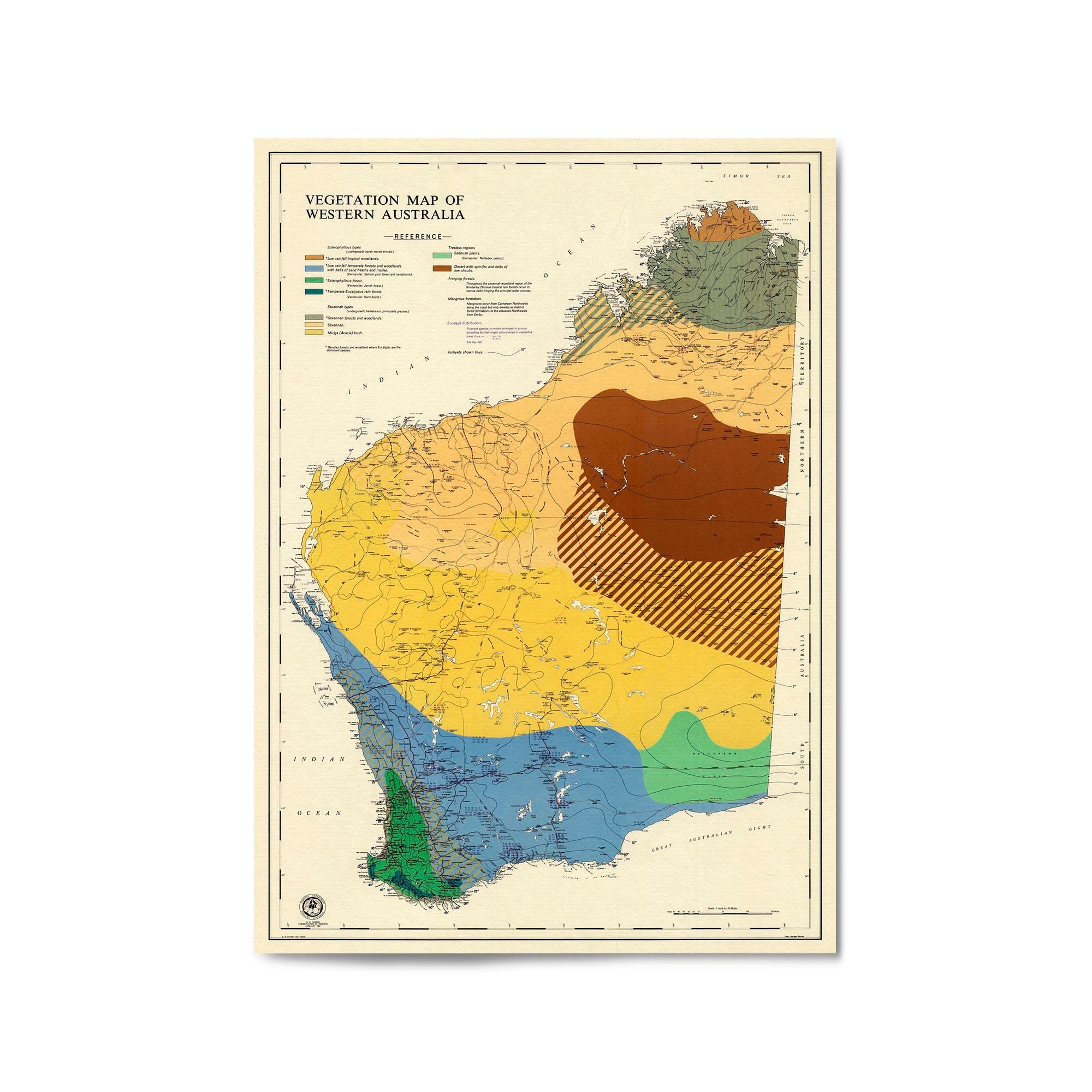
1952 Vegetation Map of Western Australia
From
$45.00
1967 Vegetation Map of Western Australia
From
$45.00
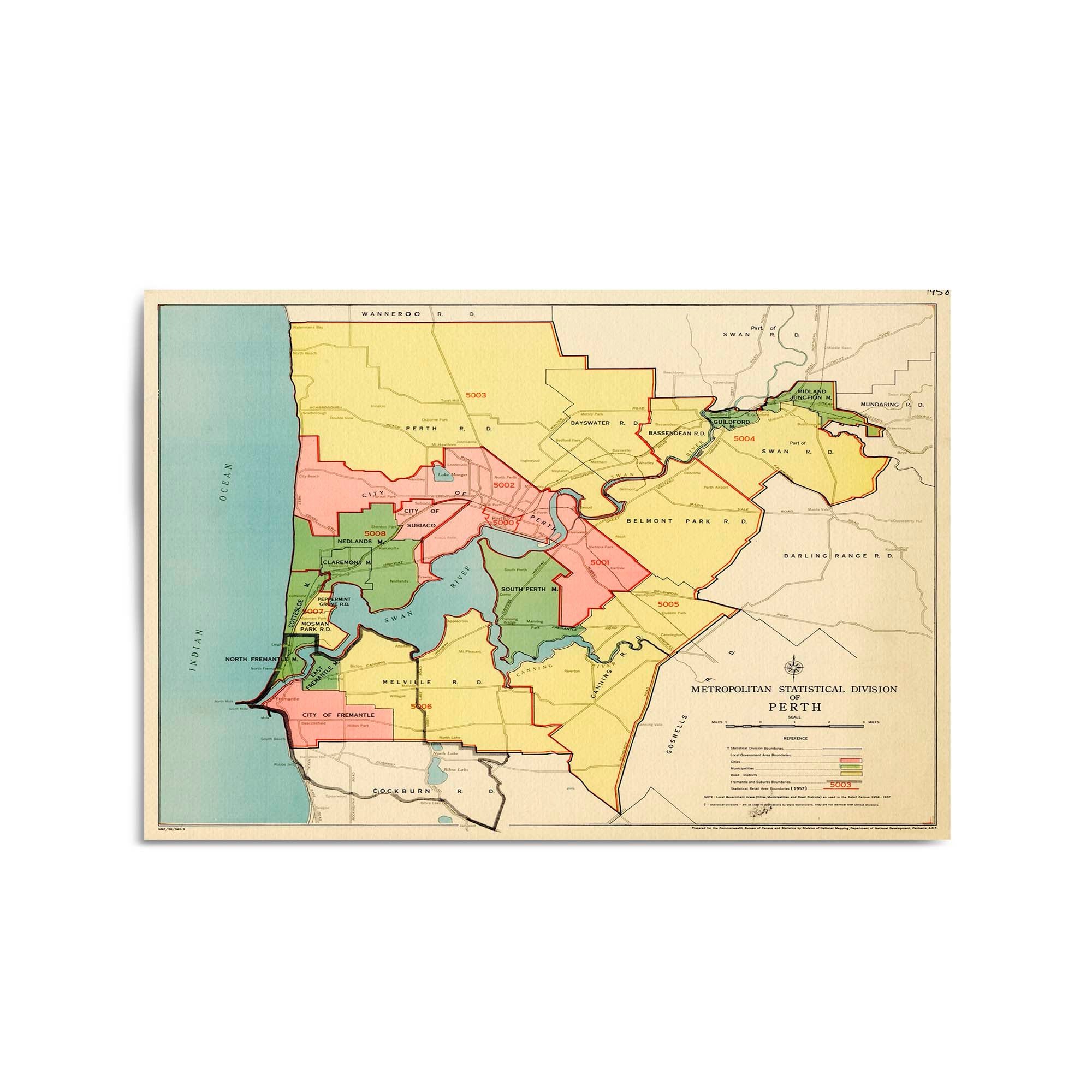
1958 Map of Perth & Surrounds, Western Australia
From
$45.00
1966 State Map of Western Australia
From
$45.00
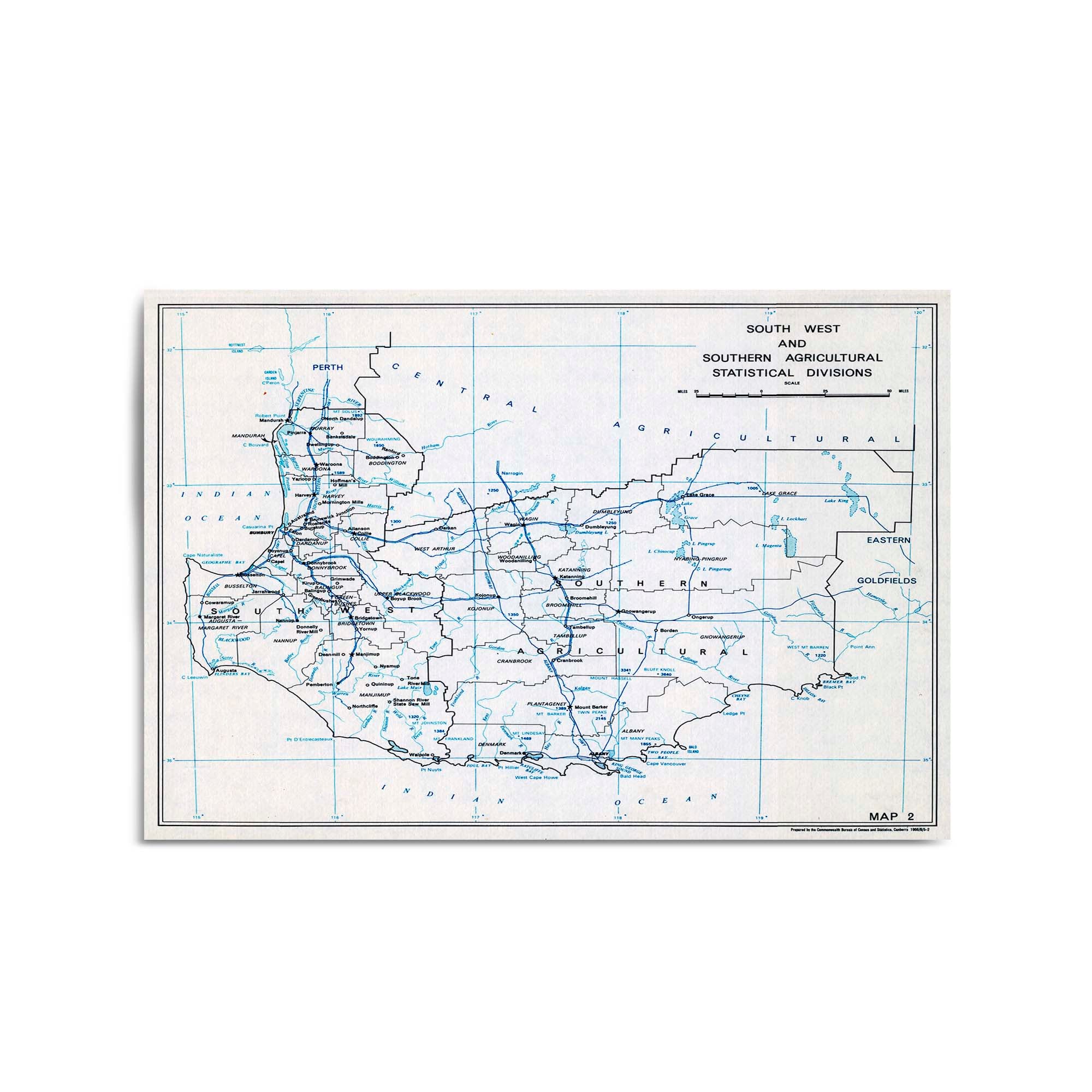
1966 Map of the Southern Section of Western Australia
From
$45.00
1
2
3
…
135
·
Next »